Last weekend we decided to get the van out of the parking lot where it’s been for the past few weeks and go try to find lake Rajucolta, which was recommended to me by my mountain biking guide. We found the road on Pocket Earth (the app we use for navigation) and headed in.
We drove up a very pretty valley, past farms, a couple of villages, and lots of pigs on ropes. At one point as I was trying to maneuver around a campesino (peasant farmer) and his flock of sheep, the right side of the van slipped into a ditch.
This is where four wheel drive is really handy. With two wheel drive we’d have been stuck waiting for help to get us out. I locked the hubs and with Jen directing me we managed to back out of the ditch. Unfortunately these are the times when you’re too worried about getting out of the situation to think about taking pictures. But you always wish you had later!
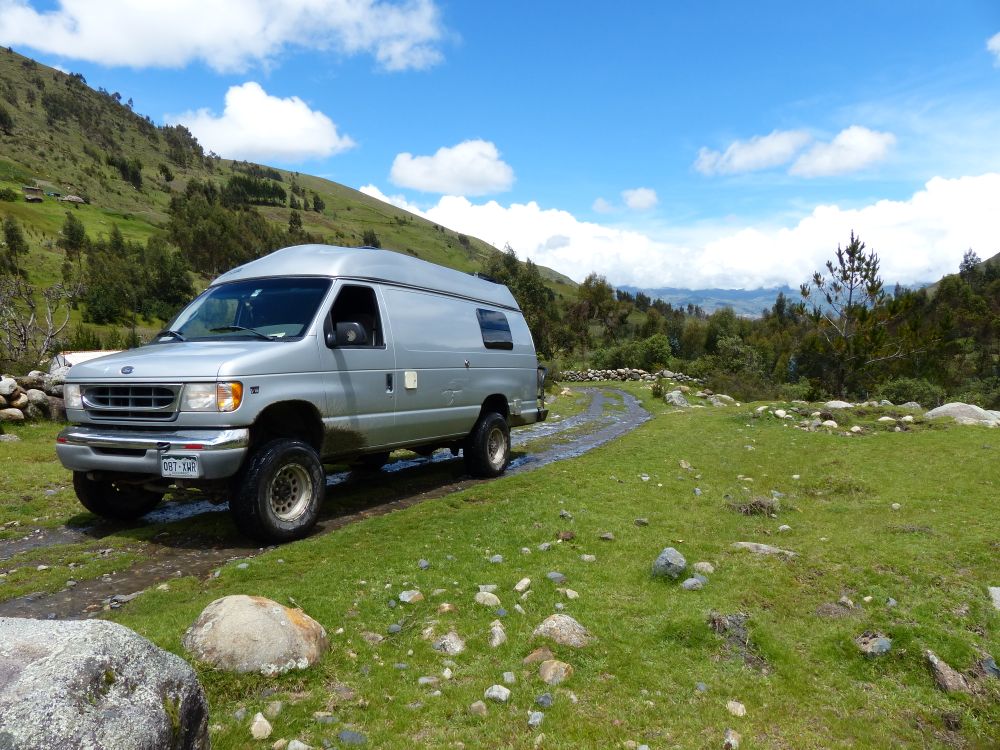
Van not in a ditch.
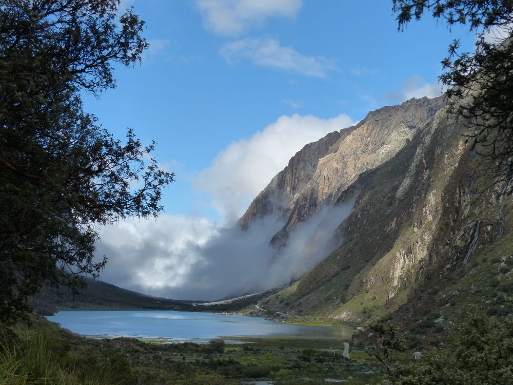
The map showed that the road turned into a footpath at a town, but it actually continued on, and we kept driving until we finally hit a washed-out bridge and could go no further. After hunting around for a way across the river (on foot) for a half-hour we decided it was time for lunch, and then it started to rain. So the end of our hike turned out to be about 200 yards from the van. Oh well, we had a good time anyway.
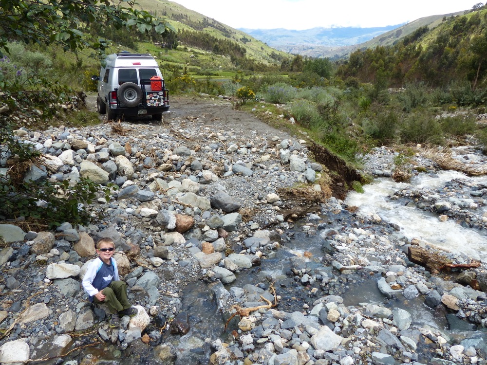
The end of the road.
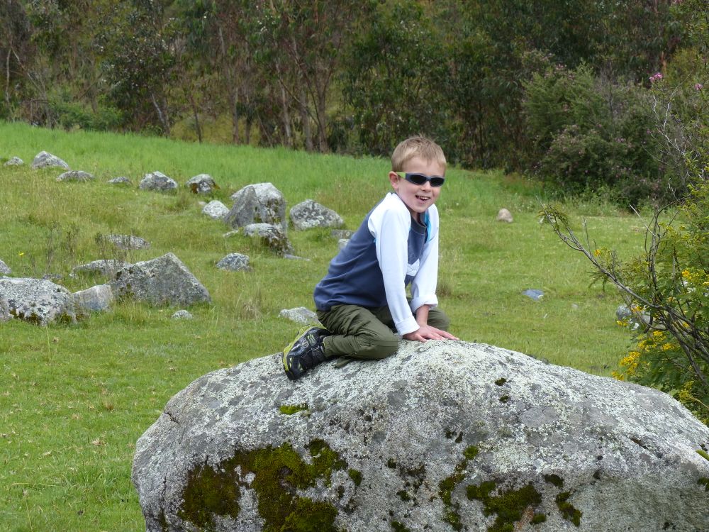
Quinn had a good time playing in the streams and on the rocks after lunch. He said we’d hiked far enough.
Two days later Jen sent me out to hike to Laguna 69. I booked a bus tour and awoke early for a five AM departure. There’s something we don’t do much of! We started hiking at about 830, and it was obvious that this was going to be a hike to remember.
Laguna Orconcocho
We were surrounded by high peaks throughout the hike.
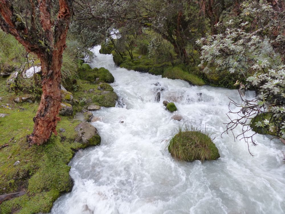
The creeks were swollen with the runoff from the rains.
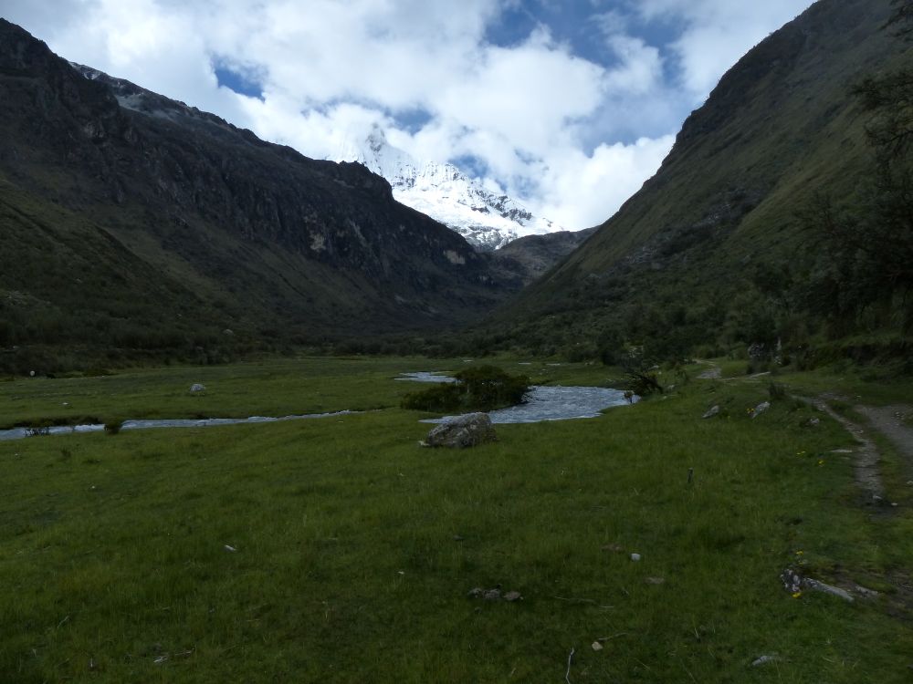
Looking up the valley. The hike started out pretty flat, but it didn’t stay that way.
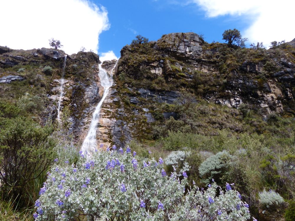
There were waterfalls everywhere you looked.
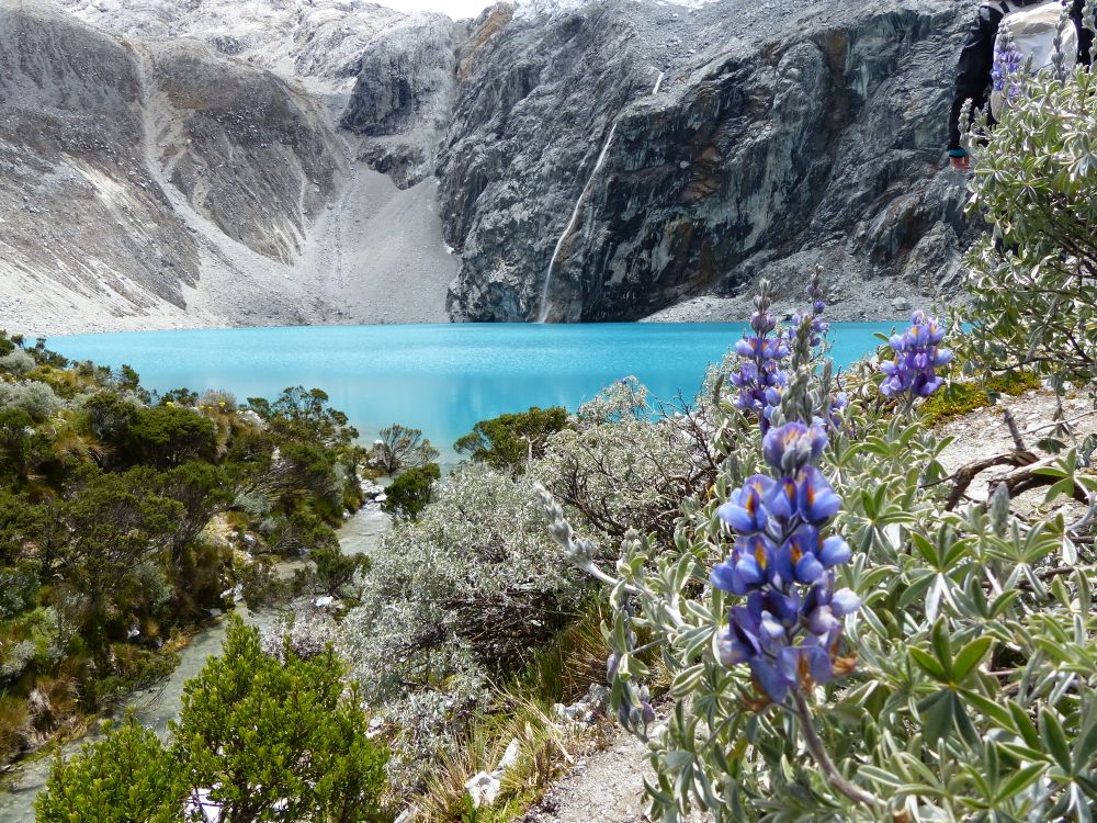
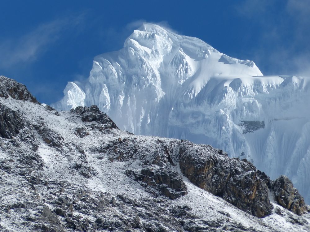
The lake, at 15,200 feet, was an amazing glacial blue. It reminded me of Lake Louise in Canada but without the hordes of people.
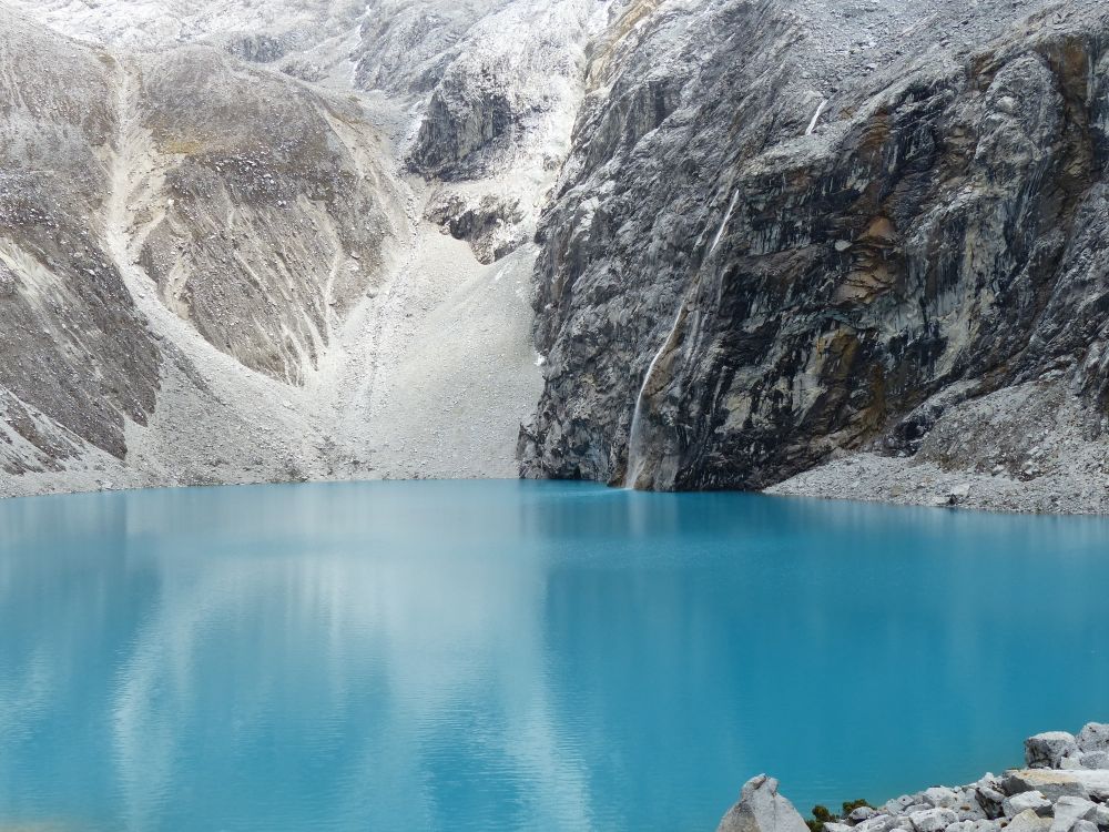
It even had a waterfall splashing into it, just to complete the picture.
Back in Huaraz, we only had a few short days before it would be time to pack up and move along. We awoke Thursday, our last full day, to clear skies.
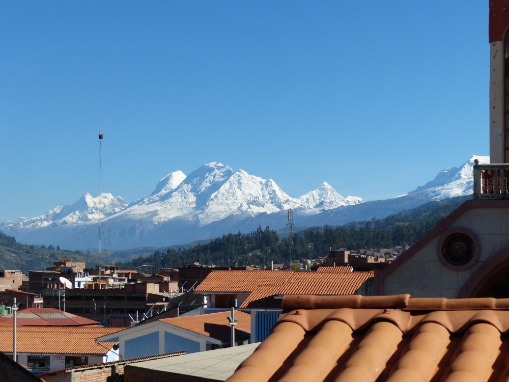
Huascarán from our rooftop deck.
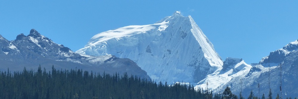
There are several snow capped peaks surrounding the valley where Huaraz is located.
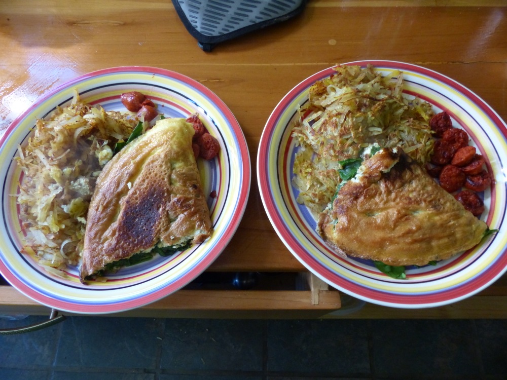
Time to clean out the fridge. Spinach omelets, fried potatoes, and sausage anyone? No wonder I don’t get to work until 10AM!
You all sure can find some beautiful places! I never knew such places existed.
Thanks Bobbie!
Looks amazing….scenery and the breakfast. Can’t wait to get to Peru.
Hi Karie!
Great to hear from you. Sound like you got your shock problem sorted out? Where are you?
The snow caps are just breath-taking.