A Comparison of Overland Navigation Tools
One of the best things about overland travel is that you almost never drive the same road twice. Leaving behind the daily commute where you know every pothole by heart in exchange for exploration around every turn is exhilarating. Getting from A to B along roads you’ve never driven before will become a part of your daily routine while traveling, and it’s important to put some thought into how to do that before leaving home.
GPS
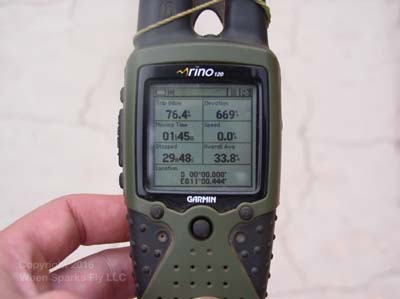
There are lots of approaches to navigation. Some travelers use paper maps almost exclusively, but most use some kind of GPS device. Many people use dedicated GPS devices such as those made by Garmin. With turn-by-turn directions and an interface designed to be used while driving, these devices are tailor-made for the purpose.
Garmin maps are available for destinations around the world. It’s best to download the maps you want while you have access to a super-fast internet connection.
Another approach is to use a smartphone or tablet for navigation. (Of course this works best if your tablet or phone has a GPS receiver inside it. Some tablet models do; some don’t.) It’s always good when you can use the same item for multiple purposes, and using a device that you would probably have with you anyway is a great way to cut down on extra gadgets. However if you lose or break your phone or tablet you’ve lost your navigation device too.
Apps

If you go with a phone or a tablet, you’ll of course need a mapping app. For our trip through the Americas, we used Pocket Earth Pro on our iPad for in-car navigation. Pocket Earth uses Open Street Maps, which you’ll hear a lot about when you’re researching this topic. Open Street Maps (OSM) is not a device or a product, it’s just a database of road networks around the world. Many different apps use OSM data, so if you’re choosing between apps that use this dataset, don’t worry about the quality and coverage of the maps — they’re the same. You’re only deciding which features and interface you like best.
We had a copy of Pocket Earth on our phone that we used when walking around cities and towns where we didn’t want to carry our tablet. It was great for marking where we parked so we could find our way back easily! Maps.me is another app that many travelers use that also uses OSM data.
Keep in mind that if you’re using your tablet or phone for navigation you’ll want a way to keep it plugged in while driving. Constant use of the GPS requires a lot of power.
Turn by Turn Directions
Travelers we spoke with during our Pan American trip reported good luck using the audible directions provided by devices and apps. Since Pocket Earth doesn’t provide turn-by-turn directions without an internet connection, we interpreted the map ourselves. Driving and directions is a perennial source of arguments, so it’s important for the driver to recognize that the navigator’s directions are only as good as the maps they’re reading. Similarly, the navigator has to understand that the driver will sometimes miss turns due to traffic or conflicting road signs. We drove through a few towns where one-way streets weren’t labeled as such on the map we were using.
If you’re traveling solo (dogs don’t count — they can’t read maps) you may want to consider something that features offline turn-by-turn directions so that you’re not constantly stopping to check the map, or worse yet trying to read it and drive at the same time.
If you think having your partner read directions to you could lead to arguments, again look for something with turn-by-turn directions. You’ll be in the car with your travel partner a lot and it’s better to yell at the dis-embodied computer voice than the person you’ll be sharing a tent with that night!
Online Maps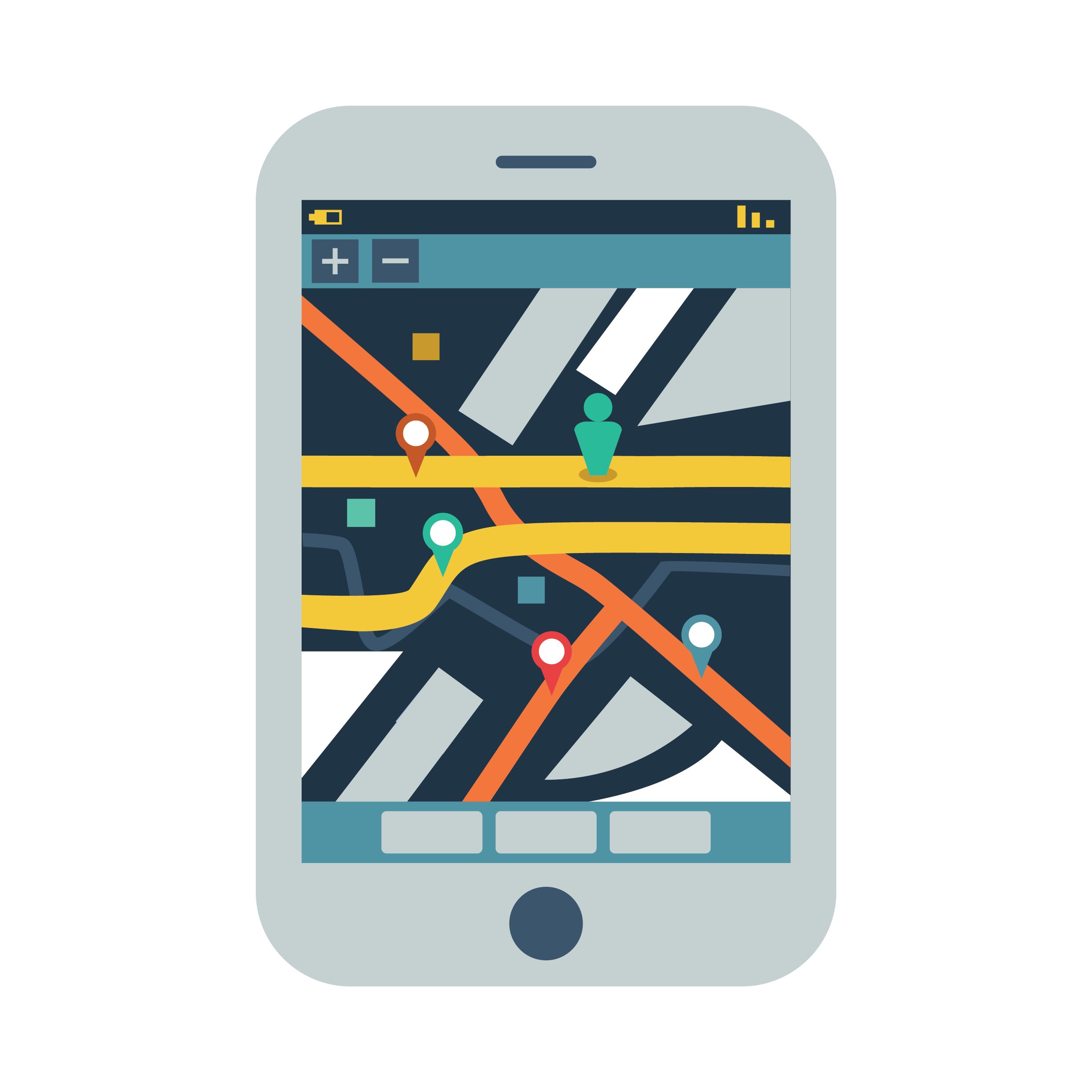
Google Maps is ubiquitous in the US and Europe, and in my experience its estimates and routes are spot-on at home. While we didn’t use Google maps often, we did occasionally use it for planning and found that the time estimates could be off by as much as a factor of two. The challenge for using online maps is ensuring that you will have a cell phone connection when you need to use the software. It’ll probably work well near population centers, but coverage may be spotty or non-existent elsewhere.
Paper Maps
Paper maps serve two purposes. First, as a backup to fragile electronics, and second as a planning tool. It’s always fun to gather around the picnic table with other travelers and compare notes and recommendations about where to go and what to see, and nothing beats a paper map for that.
For our Pan American journey we had two large-scale maps that covered the whole of South America. We found these maps to be too large of a scale for effective planning because we couldn’t accurately mark that great beach that someone recommended. We talked with other travelers who had country-scale maps and those seemed much better suited to that purpose.
In Africa we used the Michelin maps that cover the continent in three sheets. These were good for navigating between cities and towns, but were useless inside cities. During our travels in 2004 we found them to be outdated in some areas. The map in one case showed a big, red road that we planned to take through the Republic of the Congo to Pointe Noire. We spoke with locals, though, and learned that the road was overgrown by jungle and that another newer road that wasn’t on our map was better.
Motoring clubs in some countries produce useful tourist maps that can be purchased at gas stations and sometimes at toll booths.
When The Road Isn’t on the Map
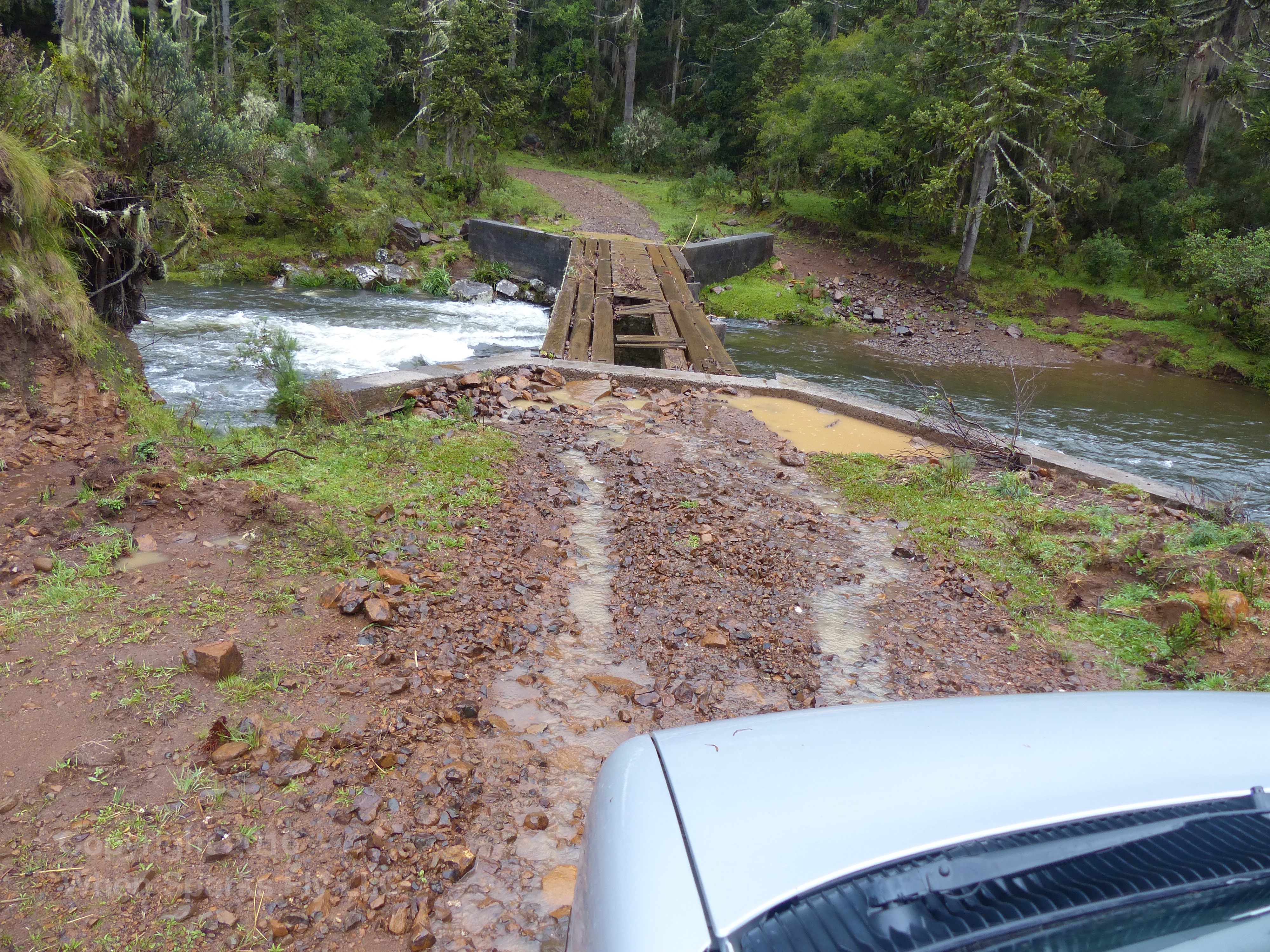
This doesn’t happen often, but it’s fun when it does! Our friends from Brazil recommended a side trip through a remote national park in the highlands of their country, and we discovered it isn’t in the Open Street Maps dataset. I did find it in Google Maps, and was able to use mapmyride.com to painstakingly drop waypoints along the road, export them to a GPX file, and import them into Pocket Earth. We did this for part of our trip across the trackless Salar de Uyuni as well.
Asking Directions
Especially if you’re traveling through a city without a GPS or a good paper map specific to that city, you’ll often need to ask directions. This can sometimes be a slow process. The first challenge is the potential language barrier. In rural areas especially, it’s good to get multiple opinions. In some places people may not have even been to the next town down the road, but pride (and the desire to be helpful) demands that they answer your question. It’s better to ask a neutral question such as, “Where is the road to Guadalajara,” rather than pointing and asking, “Is that the way to Guadalajara?”
No matter what method you choose for navigation, you’ll probably get lost occasionally. This can be stressful, but in the end it’s all part of the adventure!