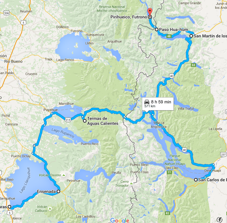
Thanks to Debbie for the idea for the Google Maps screenshot to provide a reference of where we’ve been! I should have been doing this for the whole trip. Oh well, better late than never. This map leaves off at Puerto Pirihueico, because Google apparently hasn’t heard about the ferry we took across the lake to Puerto Fuy. So we made it a bit farther than is shown on the map, but this gives a good idea of where we’ve been.
If the Carretera Austral reminded us of the Pacific Northwest, as we’ve gone north we feel like we are at home in Colorado. Gorgeous mountain lakes are framed by the now capped peaks of spring, and remote back roads offer stunning lakeside campsites.
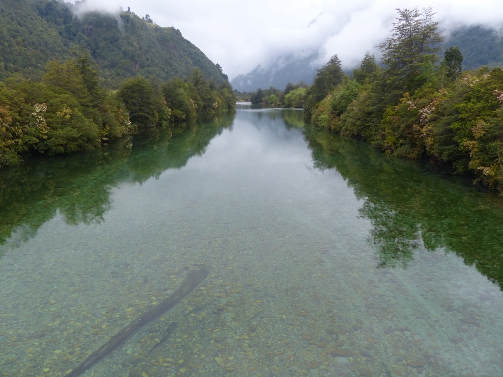
One of the many crystal clear rivers we crossed. This one was on the northern end of the Carretera Austral near Puerto Montt.
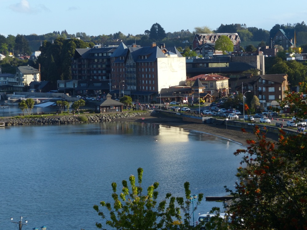
Puerto Varas was the first city we’d seen in some time. It’s set, of course, on a beautiful lake with a view of the nearby Osorno Volcano.
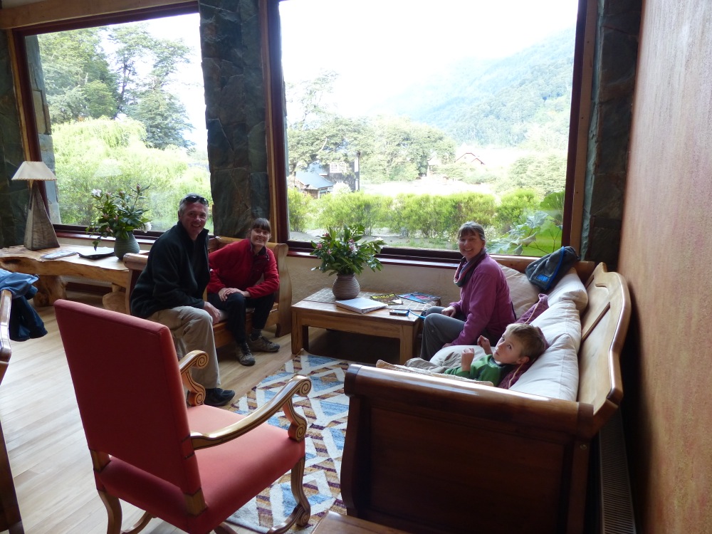
Lesley and Peter are from England, and we ran into them for the second time in the village of Petrohué. We chatted over drinks in an upscale tourist lodge before returning to our vans to spend the night. Yes, overlanders are cheap.
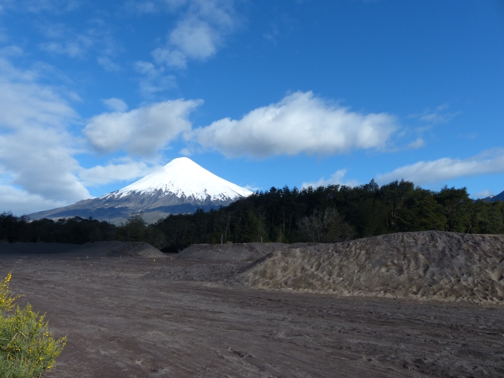
The view of Volcán Osorno from our campsite in Petrohué. The piles of sand in the foreground are actually volcanic ash.
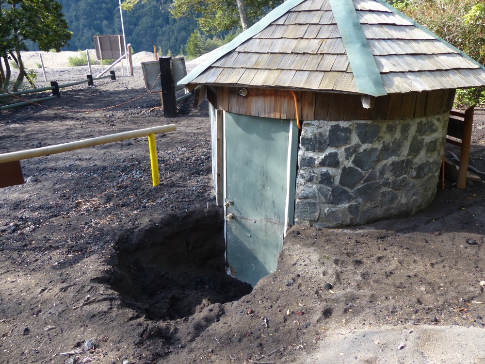
A different volcano erupted in April, covering the area with over two feet of ash. This is one building that hasn’t yet been dug out.
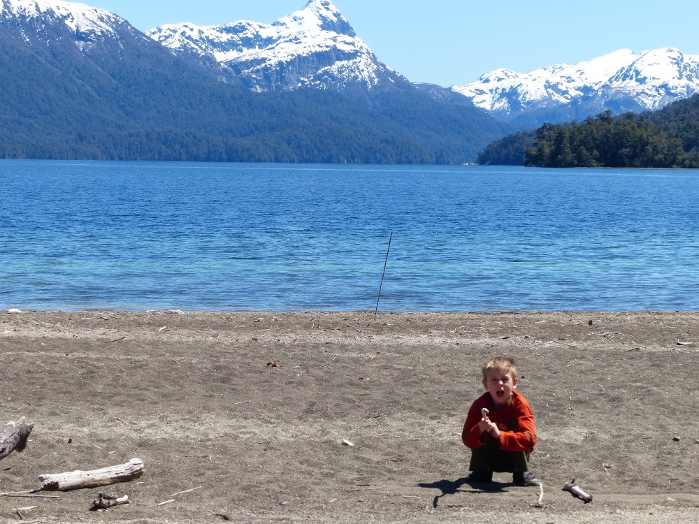
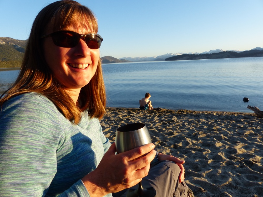
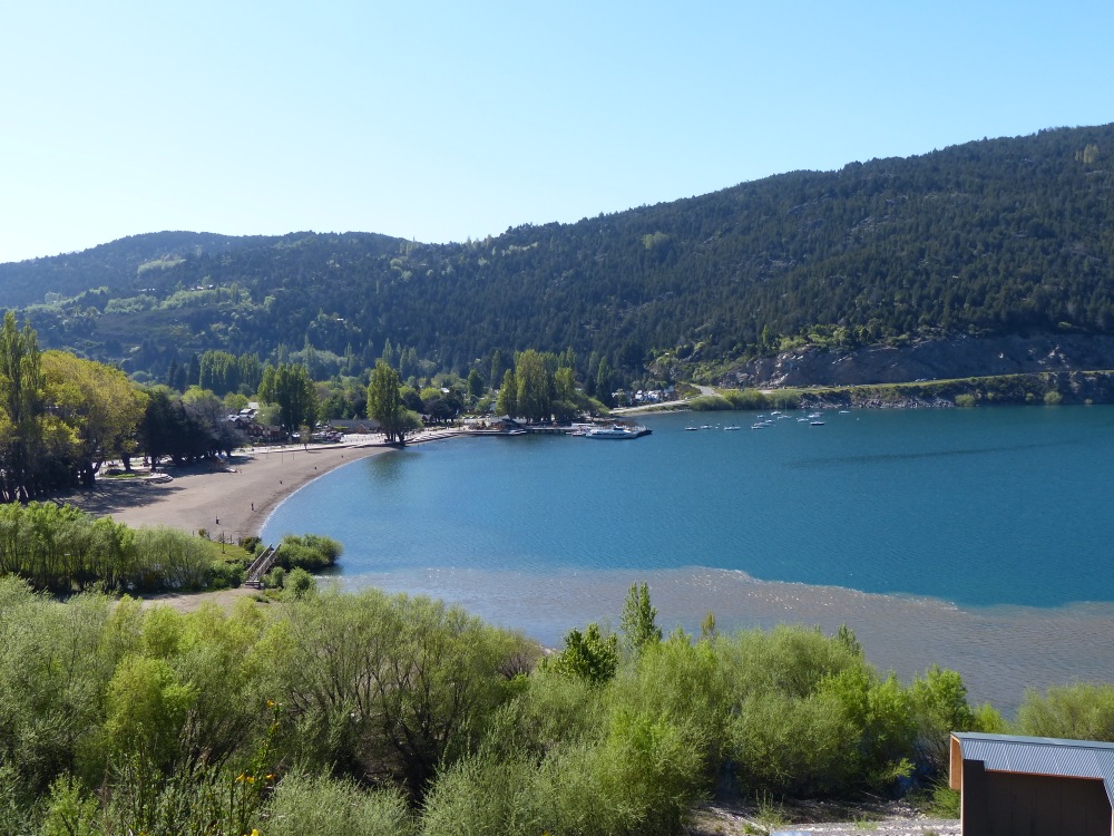
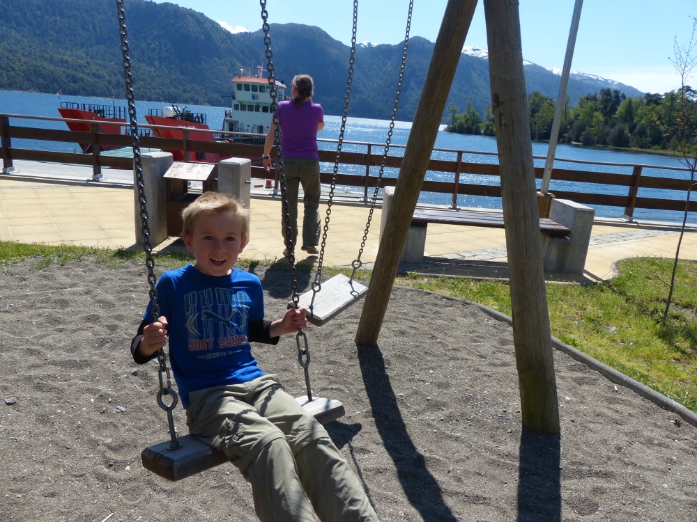
Playing on the beach during a lunch stop at, you guessed it, another lake.
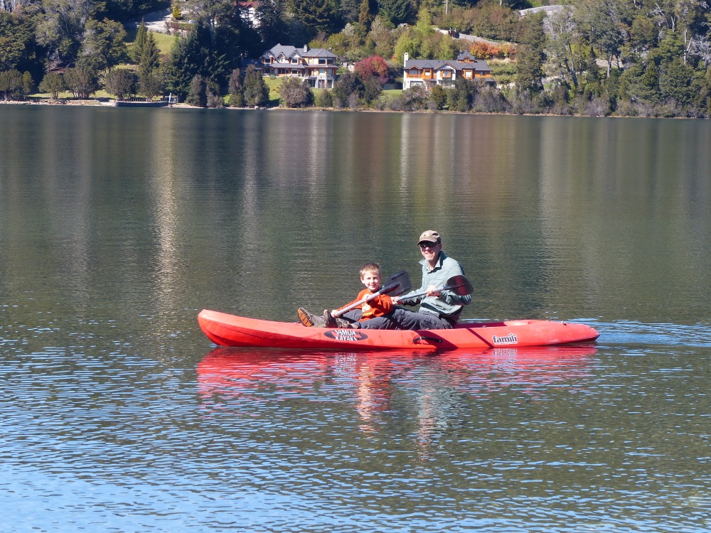
We crossed into Argentina to explore Bariloche. We didn’t like the city much, but we found a great campground on the lake that let us use their kayaks.
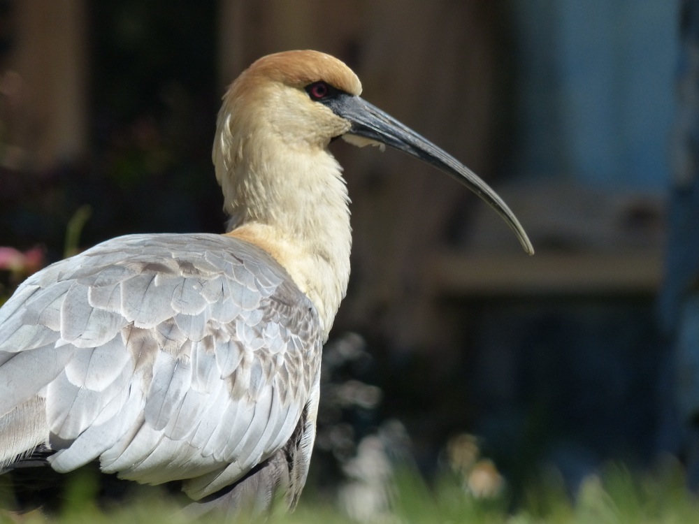
An ibis at the campground in Bariloche.
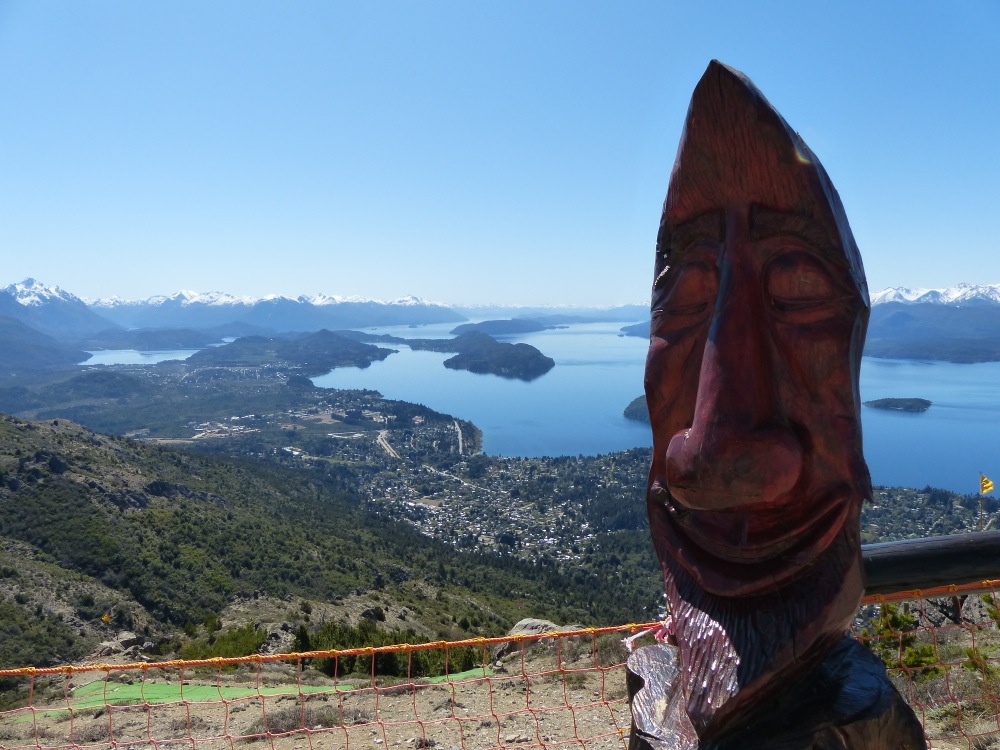
The view of Bariloche from the top of a nearby hill.

It’s getting warmer as we go North!
Relaxing after a tough day traveling.
Not a bad spot to enjoy a cup of joe…
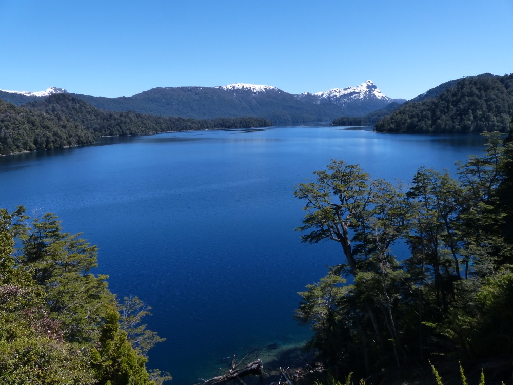
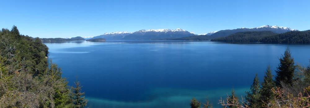
The drive north through Argentina’s lake district was amazing, with beautiful scenery around every turn.
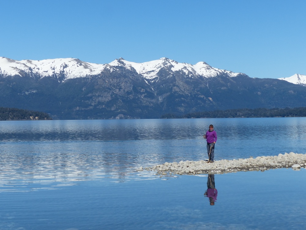
Another lakeside campsite
If I had to pick one place to live that we’ve visited, this would probably be it. San Martín de los Andes, Argentina. It’s got lots of hiking, mountain biking, and even a small ski area right out the door. Yes, I know, it looks like it could be in Colorado. Funny how that seems to happen!
From San Martín, we found a combination of dirt roads and a ferry across a lake that we could take to re-enter Chile. Here we’re waiting at the ferry terminal in Pirihueico.
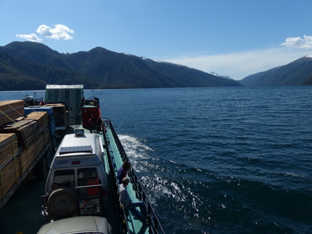
Crossing the lake took about an hour and a half.
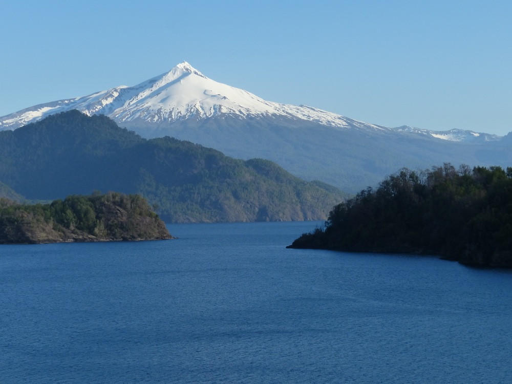
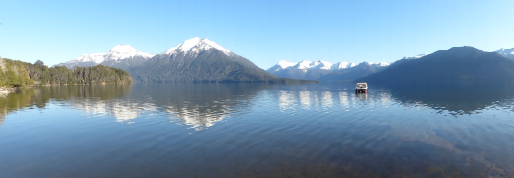
On the other side we were greeted by yet more amazing scenery.
If you haven’t been following along on the Sparks Tracker, take a look at it. The points on the map are almost all places we camped or stayed for the night. If you zoom in on Southern Chile and Argentina, you’ll see that our points are very close together. The conversation goes something like, “Oh, look, we could camp on that lake! Yeah, but it’s only noon. That’s okay, we’ll just hang out here for the day.”
We’ve decided that part of the reason we’re enjoying this part of the journey so much is more than just the natural beauty. We know that our trip is coming to a close (only two weeks before we ship the van back! Yikes!) and we’re trying to savor every minute that we can. It’s going to be cold in Colorado when we get back there in January!
One thing for sure…there are many beautiful places in this ole’ world! So happy you have been fortunate enough to experience so much of it and share it with those of us who can’t. And, I guess it is true…all roads lead to home!
Our pleasure! Thanks for being a loyal reader for the past couple of years.
I love the added map!
Hi Marcia,
I remember you asked for this awhile back. Better late than never!
This Sparks Tracker mapping tools is something else. It shows how much territory you guys have covered; and you keep going. I’m going to use some adjectives from my adolescence: What a trip!
🙂 Thanks Jimmy!
Two weeks? Really? We are heading to San Pedro de atacama tomorrow. And will cross to Argentina in a week then make our way down wine country for another week or so before heading back to chile on way to Santiago. Sounds like our paths won’t cross. Oh well, another time!
Just noticed that I never replied to this, so for anyone else who comes across it…
We did not do any export paperwork when we crossed into Mexico by land, and no one asked for any export paperwork when picking up our vehicle at the port in Baltimore on our return.
Hey Sparks Family!
Thanks for the shout out re posting maps. 🙂 it helps put things in perspective and we all need a geography lesson sometimes! Execpt what to do when where you are doesn’t show up on any map? We’ve only had that happen once so far. 🙂
Best of luck your last couple of months on the road!
Love,
The Slobes
When where you are doesn’t show up on any map, you know you’re in the middle of nowhere!
Wow! I didn’t think you guys were ever coming back!
What a wonderful life experience. Thank you for sharing it with us!
Happy Travels,
Sandi
Hi Sandi! Great to hear from you. Hope you’re doing well!
Beautiful pictures!!! Looks quite different than when we were there in early spring! Glad you guys enjoyed it!