After wrapping up our weekend sightseeing activities, we met Doris, the Inuvik Youth Centre’s executive director, on Monday morning. We spent the first part of the day getting to know each other and learning about the challenges faced by the region’s youth. The challenges are similar to those faced by youth everywhere – growing up, getting a job, and avoiding all of the temptations that that life provides. There are opportunities here. There is oil and gas exploration, as well as the all weather road being constructed from Inuvik to Tuktoyaktuk. All of these offer employment possibilities for those with at least a high school education.
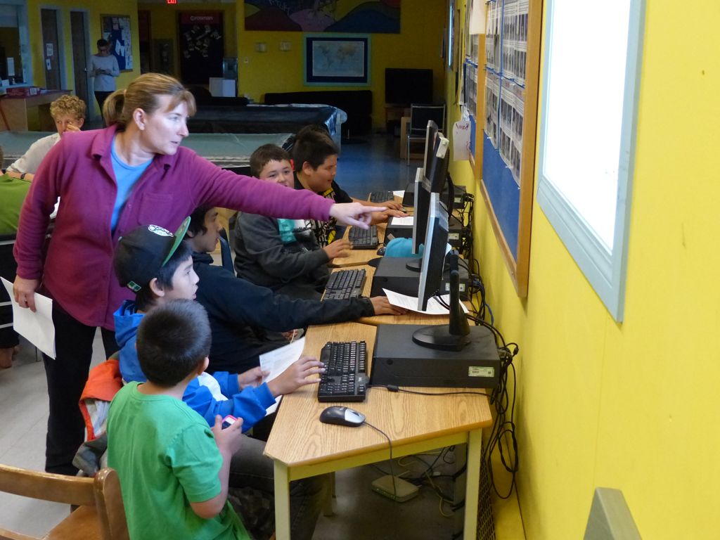
Jen demonstrates the KA-Lite software
We spent the rest of the day installing KA-Lite on the computers in their computer lab. KA-Lite is a way for communities without internet access to utilize content created as part of the Khan Academy. For more information on that, take a look at our volunteering page.
We got the software installed without too much trouble, and Doris started putting out the word that there was something new on the computer to see. In part, this involved shouting over to the kids riding in the nearby skate park. Quite convenient!
The next afternoon we got about 8 boys into the center, aged from about 8 – 12. Jen put together a few short demonstrations of some of the Khan Academy videos, including one particularly pertinent about why the sun never sets in the summertime above the arctic circle!
To the extent that you can keep pre-teen boys’ attention with educational videos, the demonstrations went quite well. About a half an hour later it was the girls’ turn – the “Delta Girls” in particular, referring the Mackenzie River delta. We felt that the whole exercise turned out very well. Our hope is that we’ve made something available that will help a few people out, if and when they decide they need it.
While there, we met the group of four who had biked all the way from Vancouver to Inuvik (including through the mud up the Dempster). They were also at the youth center to give a workshop on environmental sustainability. While Jen was working with the Delta Girls, I took Graham, one of the bikers, to the hardware store to pick up boxes to ship their bikes home, and dropped the boxes off at the airport in preparation for their flight back home.
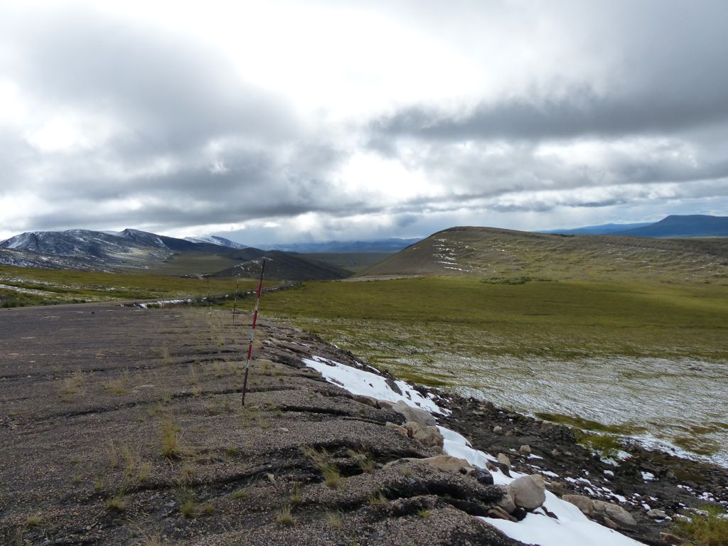
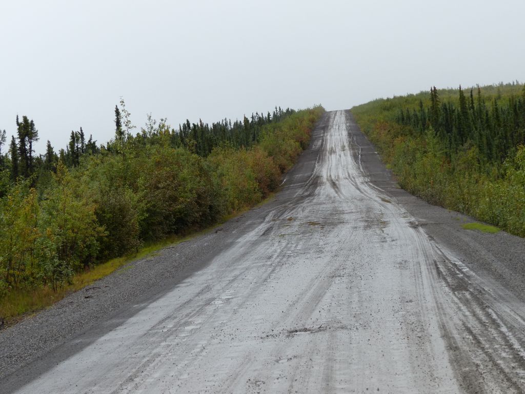
The next morning after meeting with Doris over breakfast to say goodbye, it was time to head back down the Dempster.
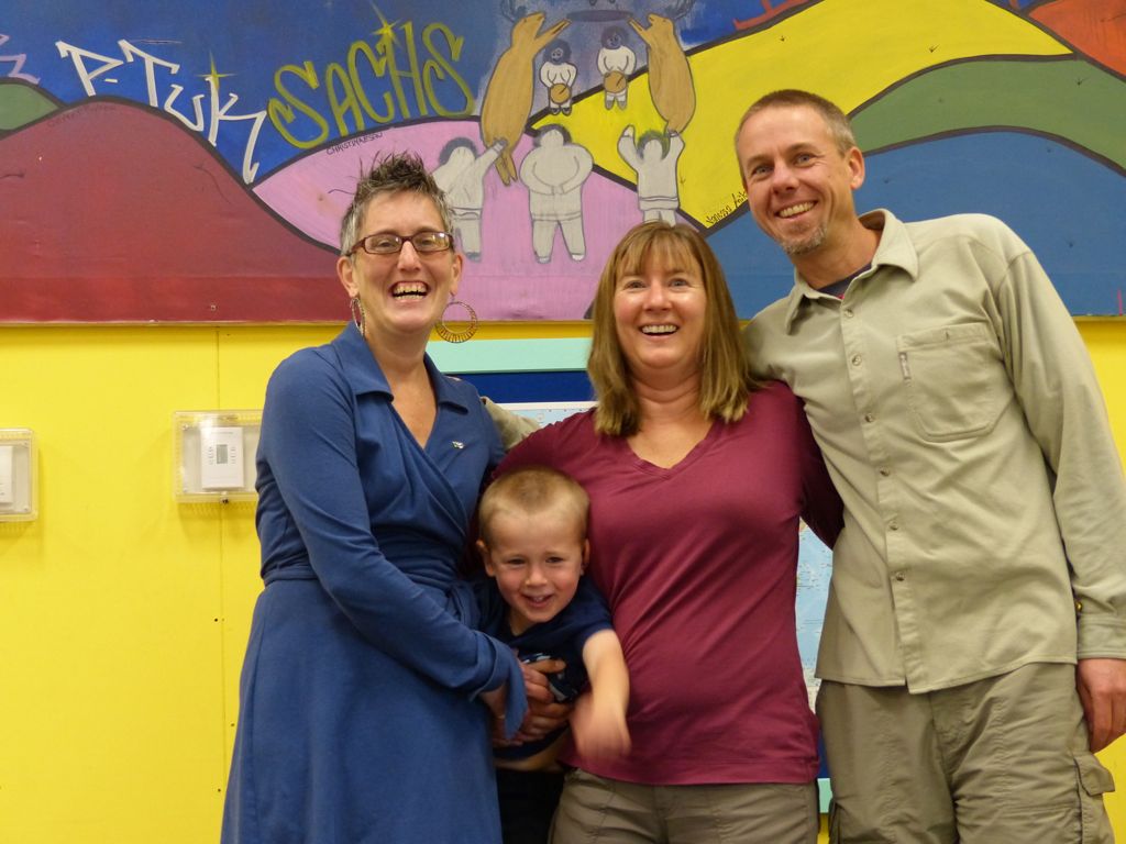
Doris, Quinn, Jen and Witt at the youth center