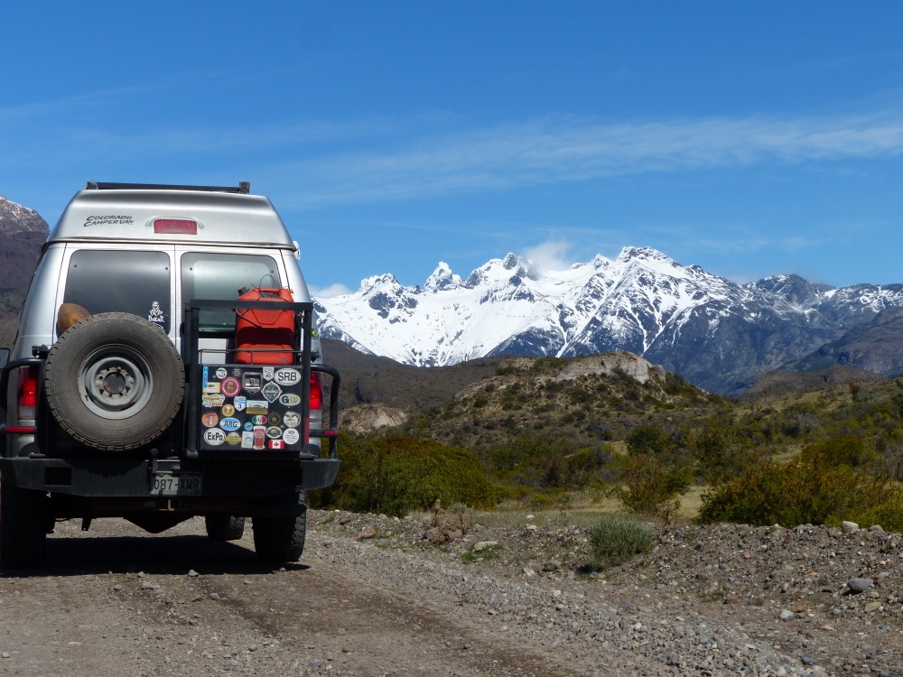
Coyhaique is the biggest town along the Carretera Austral, and we planned to stop there to resupply food, gas and money, since not all of the towns in the region have ATM machines. On the way we found another nice wild camp along the river, and arrived in the town of Coyhaique the next day. It took us our normal few hours to do all of our “town stuff,” and we rewarded ourselves with a pizza and a beer at a local microbrewery.
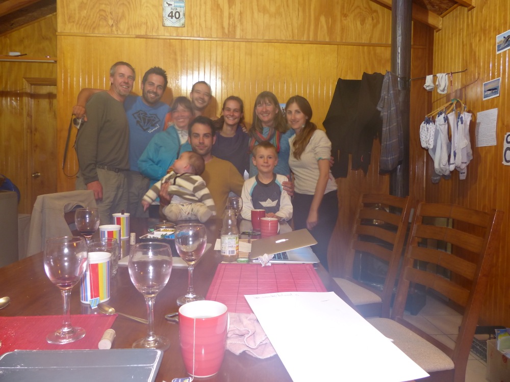
We stopped that night just out of town at a campsite that was also an organic farm. Nacho, the farm’s Spanish owner, was very helpful, showing us around his greenhouses and giving us a great list of things to do farther north. We stayed for two nights, chatting with Victoria and Cameron, a couple from Florida heading South on the Carretera on their bicycles.
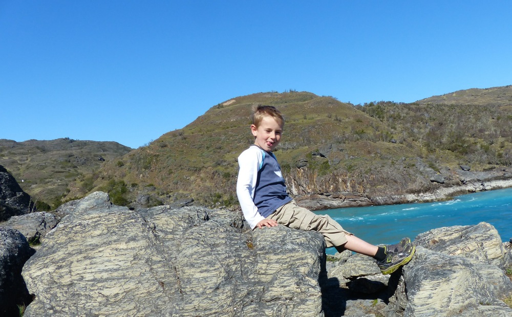
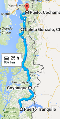
Our first stop after leaving the farm was to do two hikes recommended by Nacho.
Hiking (with coffee in hand) through the Bosque Encantado (Enchanted Forest).
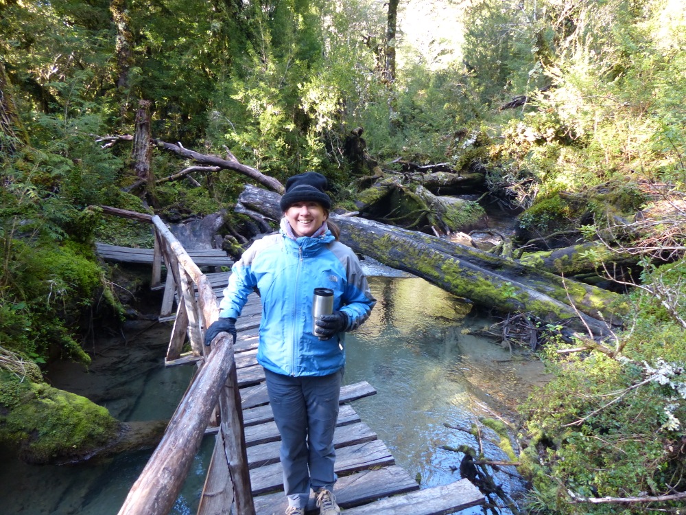
The Sparks in the valley above the Enchanted Forest.
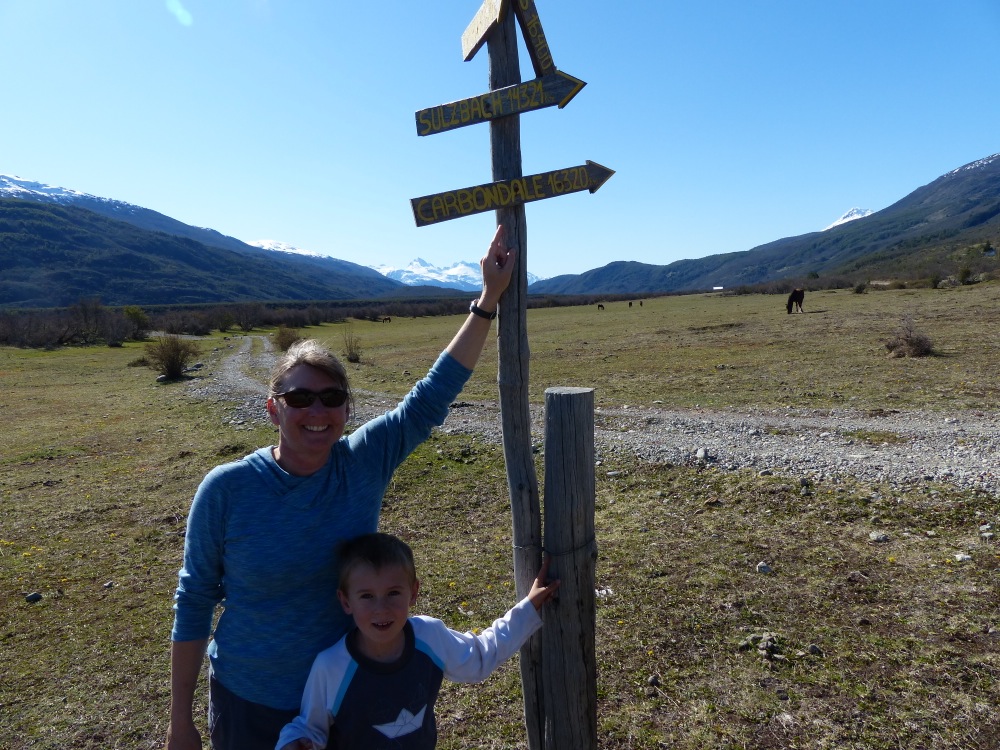
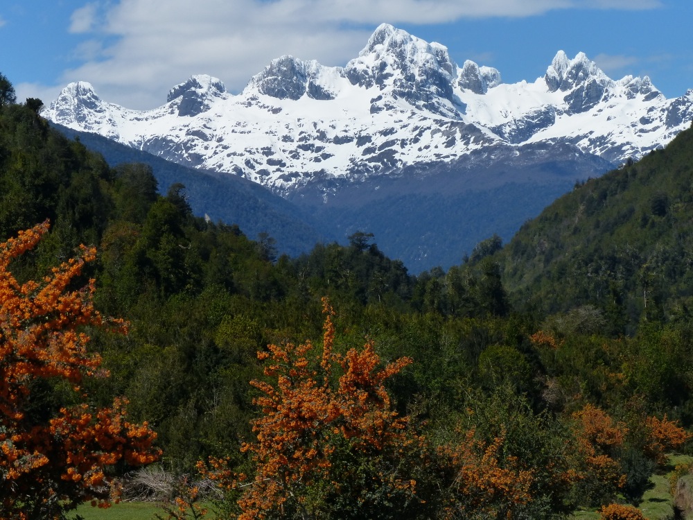
Continuing North.
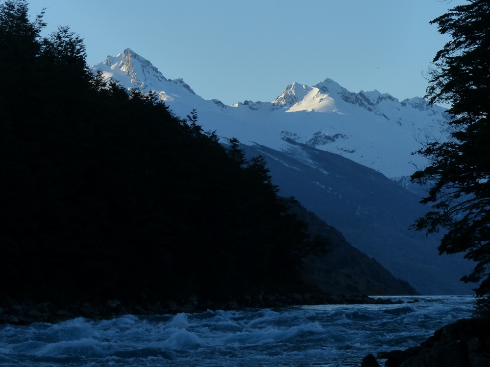
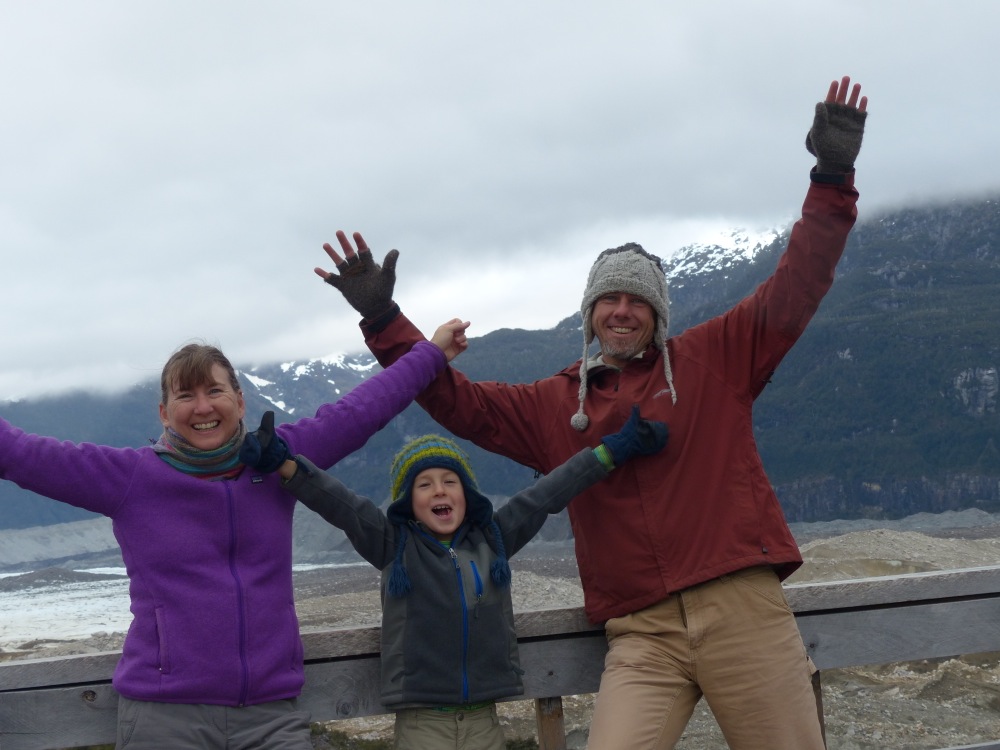
After a couple more hours driving, we arrived at our next stop, a hanging glacier. We were excited that Quinn did the first hike of the day without complaining, and not wanting to push our luck, Jen and Quinn went to the nearby overlook to see the glacier while Witt did a longer hike to get a closer look at it.
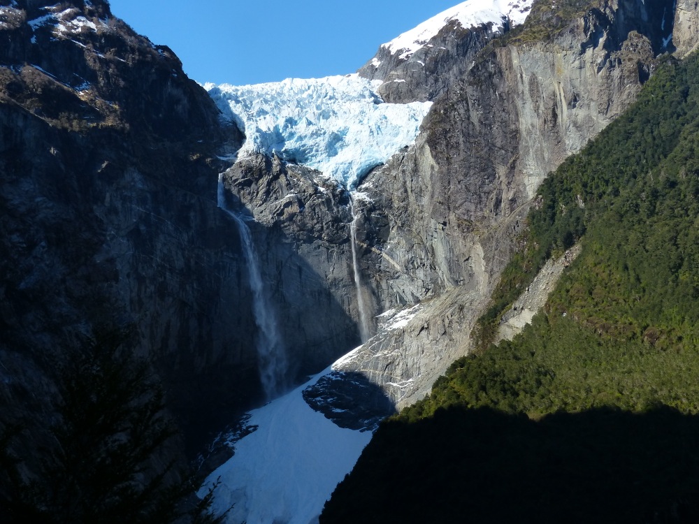
A waterfall drains the glacier onto the snowpack below. As the afternoon sun warmed the ice it calved, sending echoes down the valley.
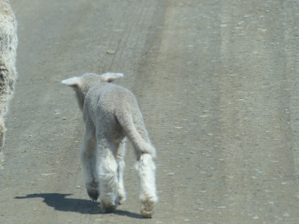
The area we’re driving through is very remote and rural, with cattle and sheep being the main focus of the farms. Not much can be imported, as transportation in the area is difficult and time consuming. Lots of houses have greenhouses. If you want veggies, you have to grow them yourself.
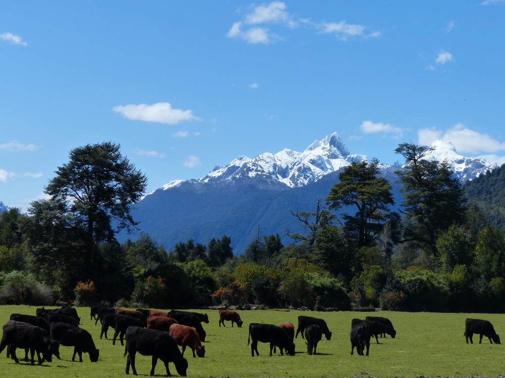
Happy Cows.
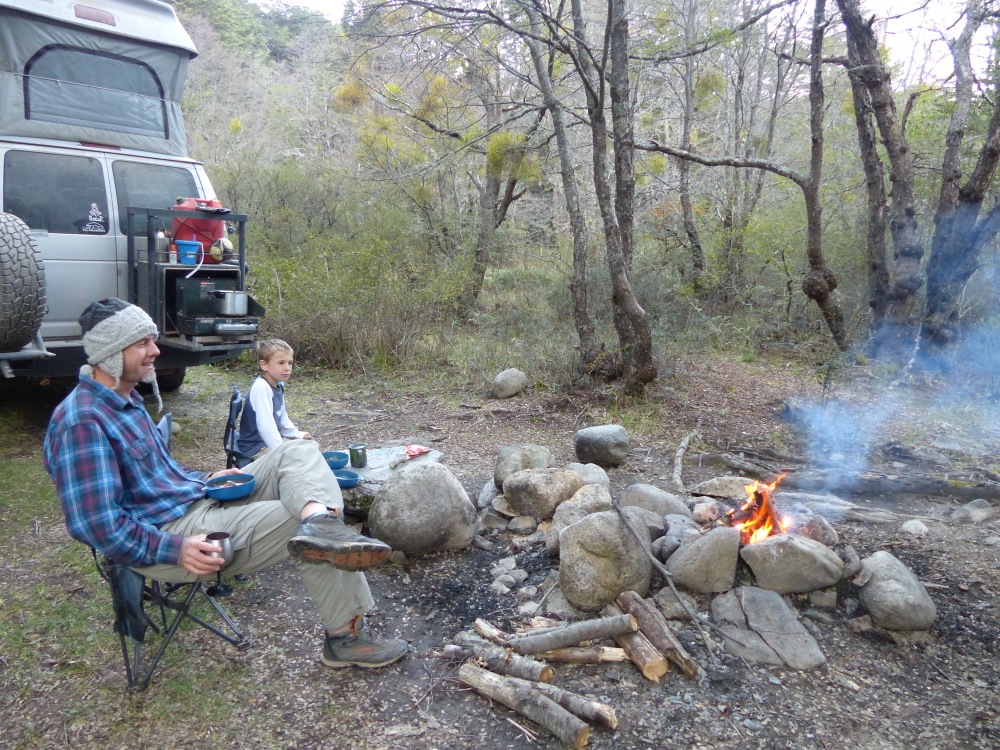
We stopped one evening at an upscale lodge that our camping app (iOverlander) said also had a campground. They weren’t quite open for the season yet, but let us stay anyway at a reduced price.
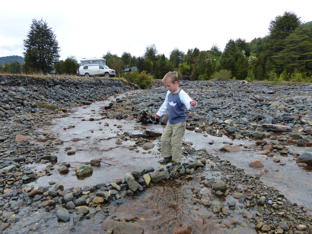
Quinn tests out the bridge he built in the nearby creek.
Our route north took us next through the village of Chaitén which was nearly wiped out by the eruption of it’s namesake volcano in 2008. Farther north we entered Parque Pumalin. This private park was created by Douglas Tompkins, an American businessman who co-founded the North Face clothing company. Doug and his wife, Kris (who is the former CEO of the Patagonia clothing company), are leading many conservation efforts in the Patagonia region of Chile, including the creation of this very nice park. We camped in one of the park’s campgrounds on our way through and remarked that it was set up much like campgrounds in US national parks.
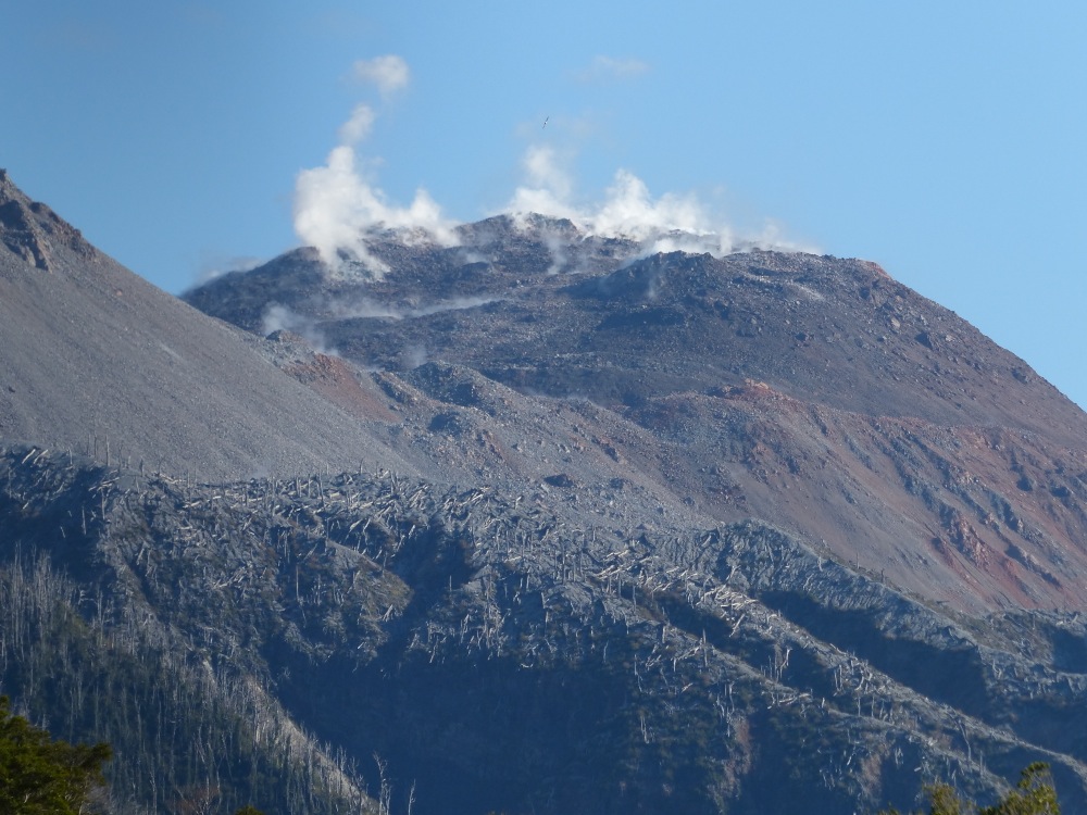
Volcan Chaitén, seen from Pumalin National Park.
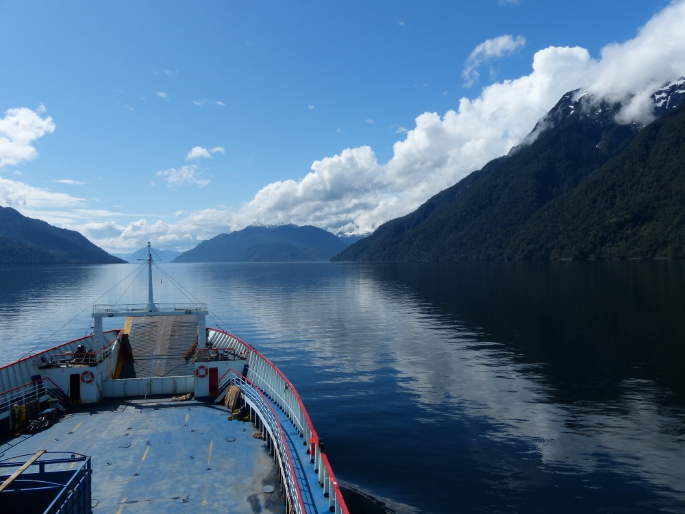
The next morning we arrived at the southern terminus of two ferries that make up part of the Carretera Austral.
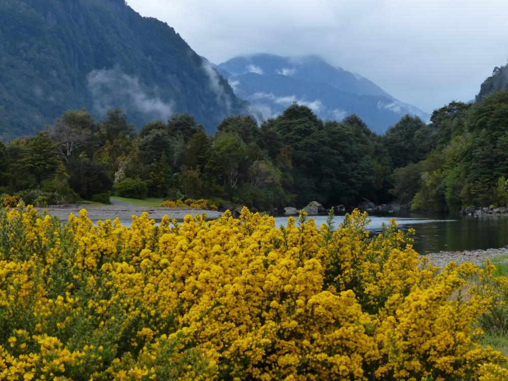
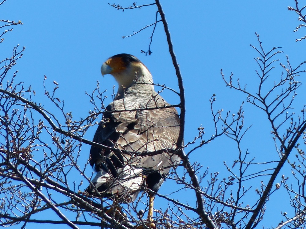
The climate here is much like the US pacific northwest. When it’s sunny, it’s beautiful, but the many overcast days can be dreary. Yellow blossoms add a bit of color to a rainy day.
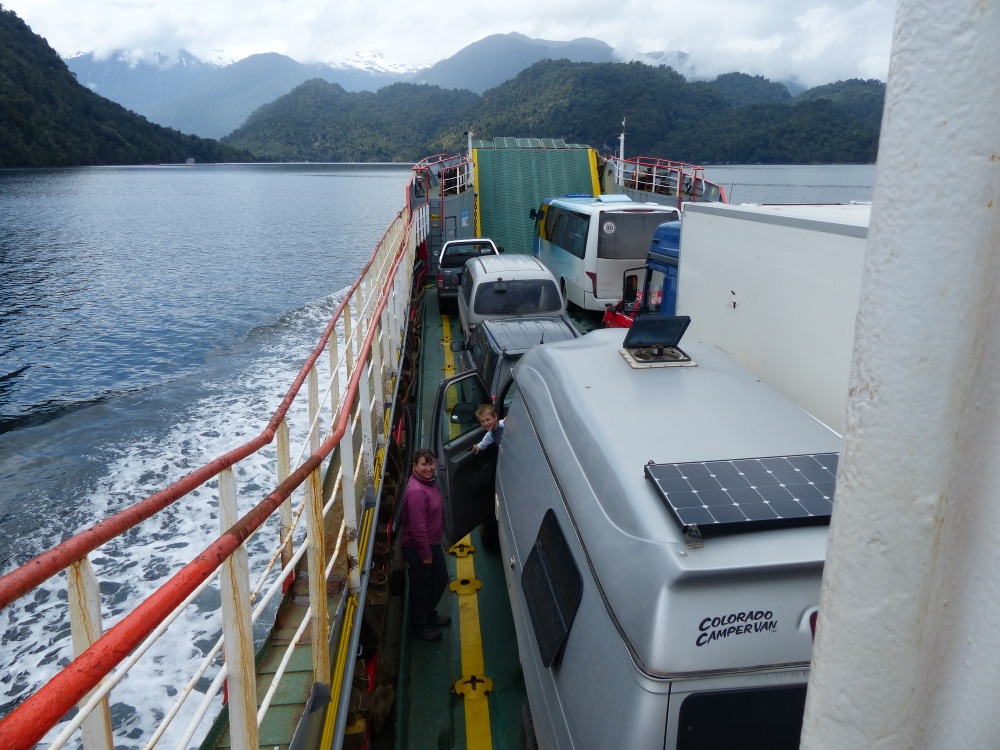
On the ferry
The clouds cleared for our second ferry ride and we enjoyed a beautiful trip up the waterway.
The coastlines here are dotted with salmon fisheries. The farms are the main industry in the area and the source of much of the farmed salmon imported into the US. There are typically tanks set up on shore where the salmon spawn in fresh water supplied from a stream. Once they mature they are transferred to nets located just offshore.
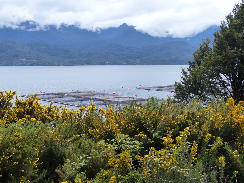
A salmon farm floats offshore.
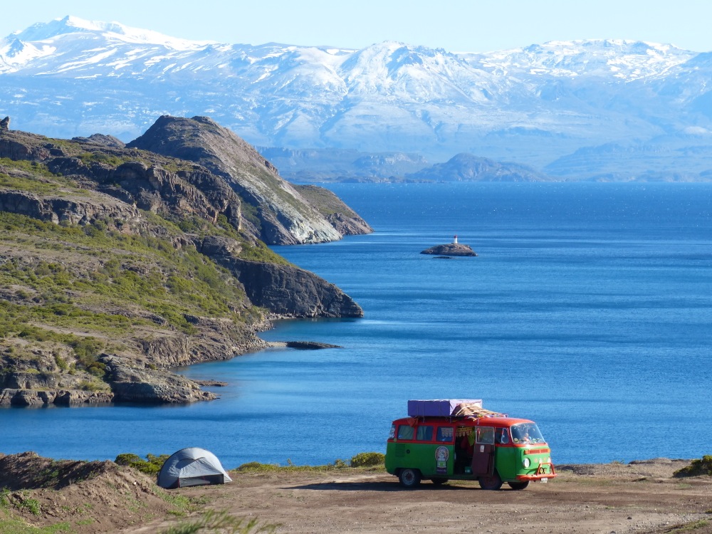
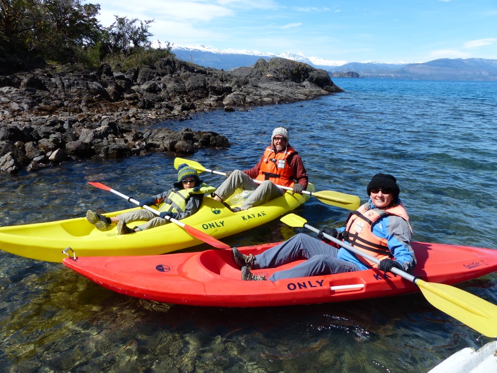
On the recommendation of a guide we met on the ferry, we decided to take a detour into the Rio Puelo valley. The valley is very remote and just opening up to tourism. Like much of the region we’ve been traveling through it is threatened by a hydroelectric scheme that would flood most of the valley.
Chile has privatized most of its water resources and today they are 80% owned by foreign corporations. In recent years there have been plans to dam rivers in the area and build the world’s longest transmission line (over 2400 kilometers) to supply Santiago and the power-hungry mining operations in the north of the country. This transmission line has been blocked by local conservation efforts, but there are other fights brewing as developers eye lesser known valleys.
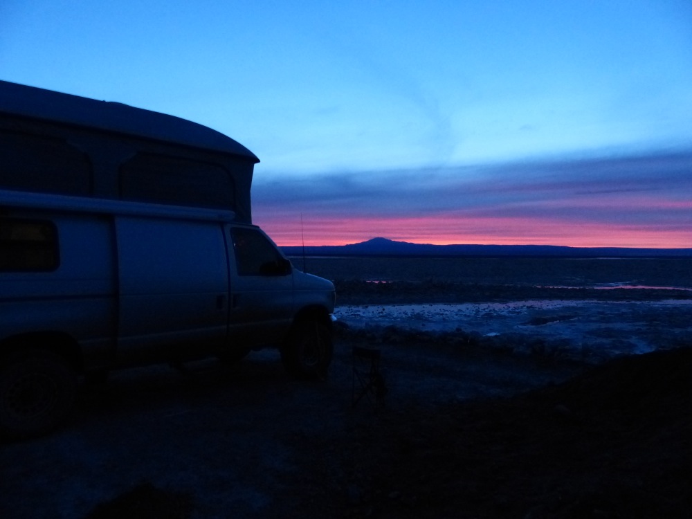
Reaching the heart of the Rio Puelo Valley required yet another ferry ride, this time across a lake. We arrived at the terminal after the last ferry of the day had departed, so we made camp on the lake shore.
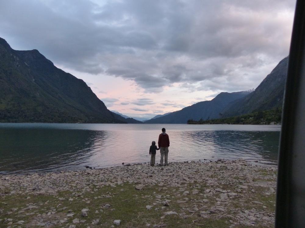
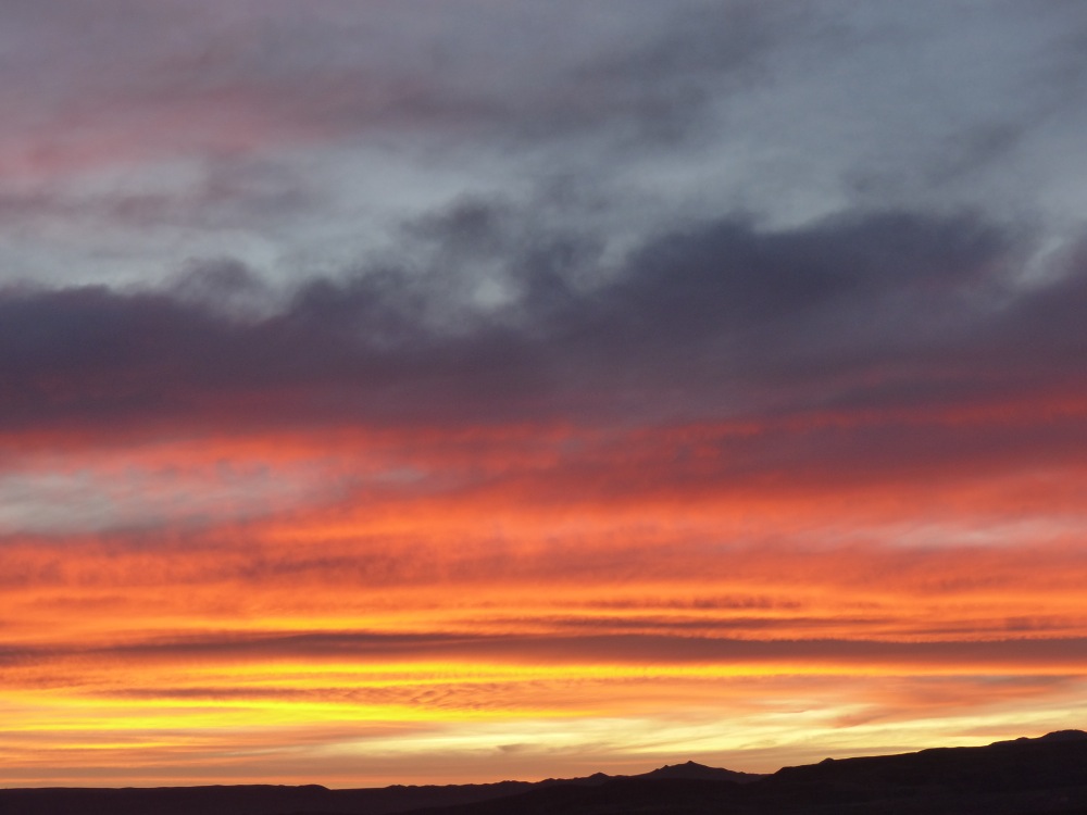
Enjoying the sunset at our campsite on Lake Tagua Tagua.
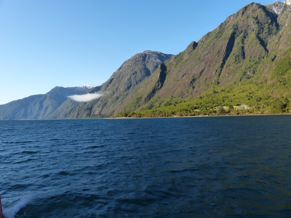
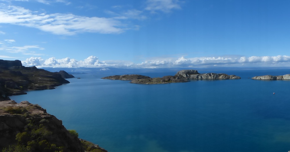
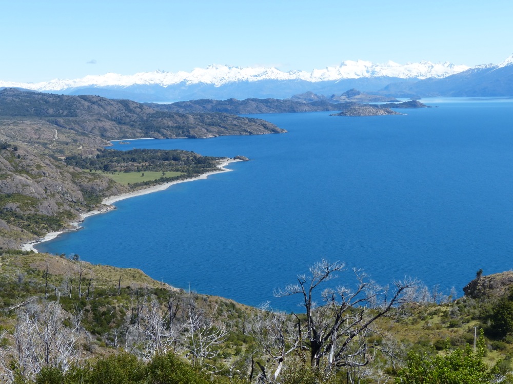
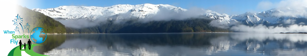
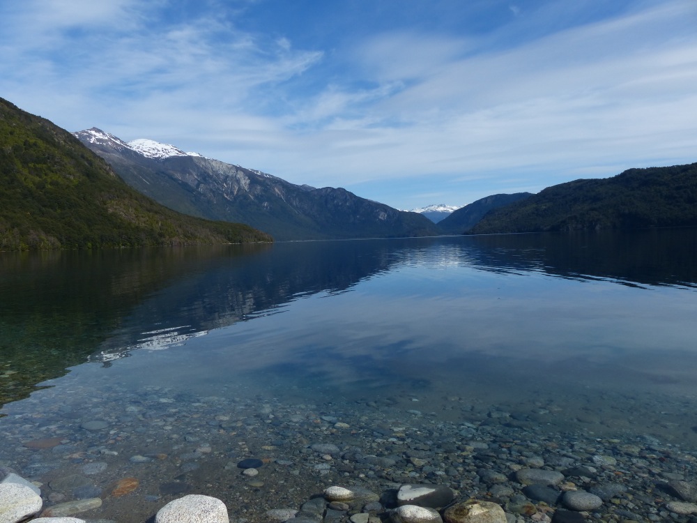
Clear skies the next day allowed us to appreciate the beautiful scenery.
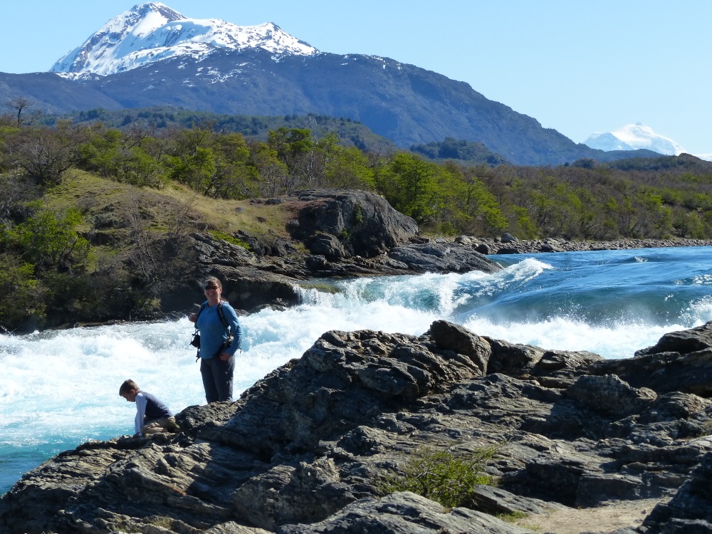
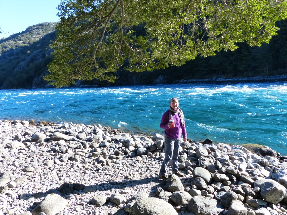
Later that afternoon we hiked to Lago Azul. Like all of the lakes and rivers here it features perfectly clear, blue waters.
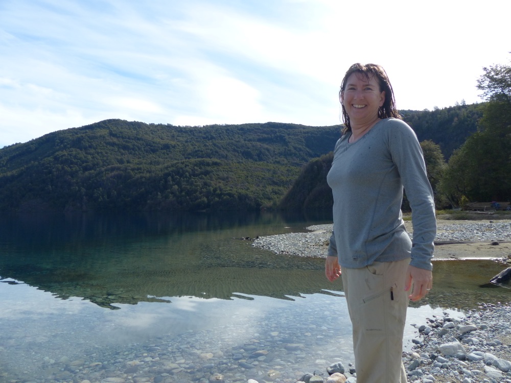
Since our rustic campsite didn’t have showers Jen braved the cold lake water to rinse off.