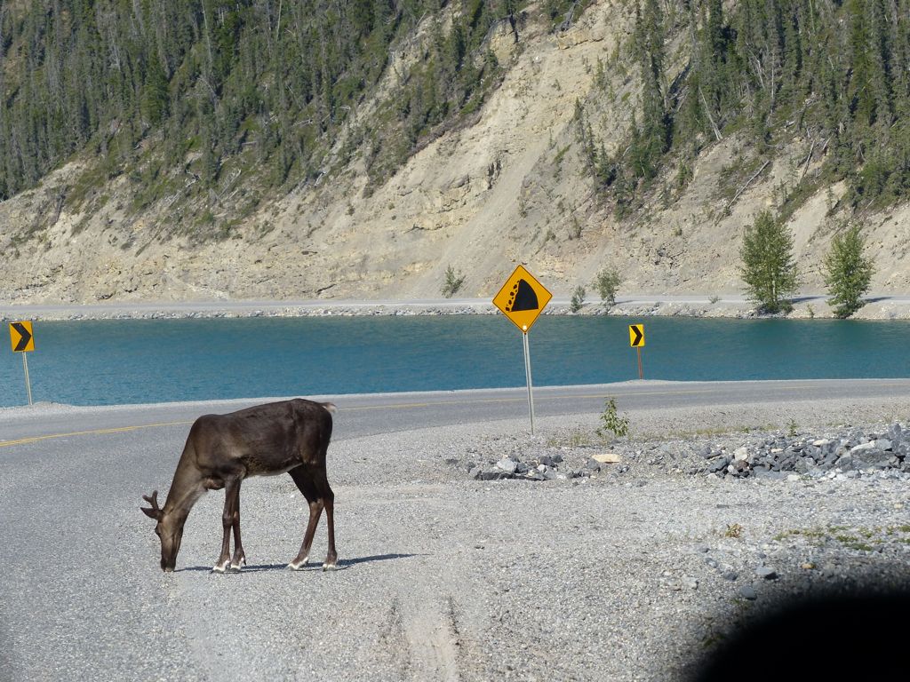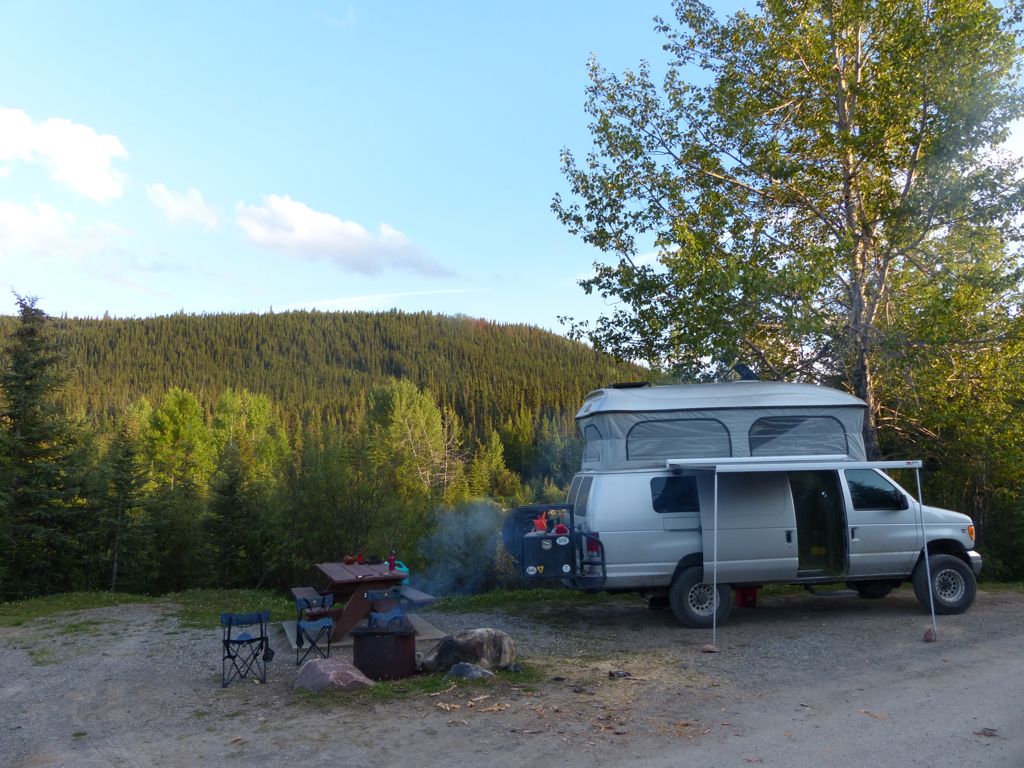
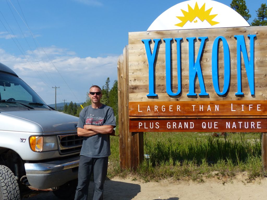
 We have entered the Yukon Territory and with our new surroundings came much cooler temperatures (and significantly fewer bugs too!)
Our first stop was in the town of Watson Lake where we visited the Northern Lights museum. We’re hoping to see the Aurora Borealis (another name for the Northern Lights) while we’re up north here. The 11-year cycle for solar activity is at its peak this year so once it gets a little darker at night (hopefully in the next few weeks) our chances will be pretty good at catching a glimpse of them.
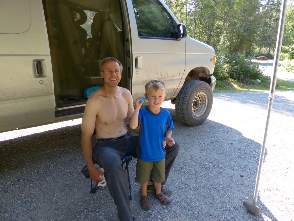
In the town of Teslin we got the opportunity to test out our travel medical insurance when Quinn fell and hit his head while sightseeing. It was a nasty fall and a bloody experience, but there were no stitches required and no apparent concussion, thank goodness. In fact Quinn recovered amazingly quickly and was running around again within a couple of hours.
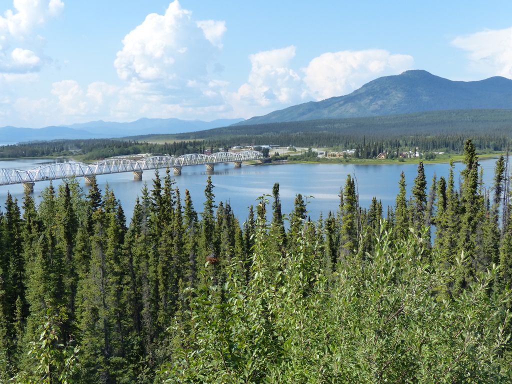
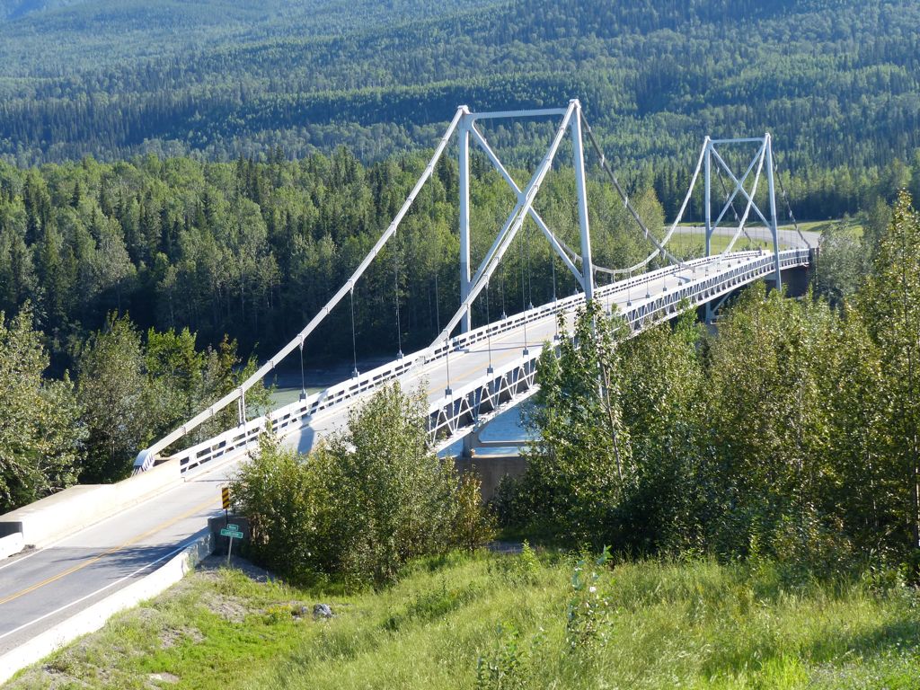
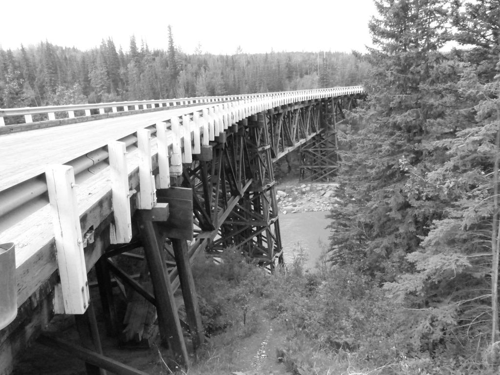
Bridge over the Yukon River leading to the town of Teslin
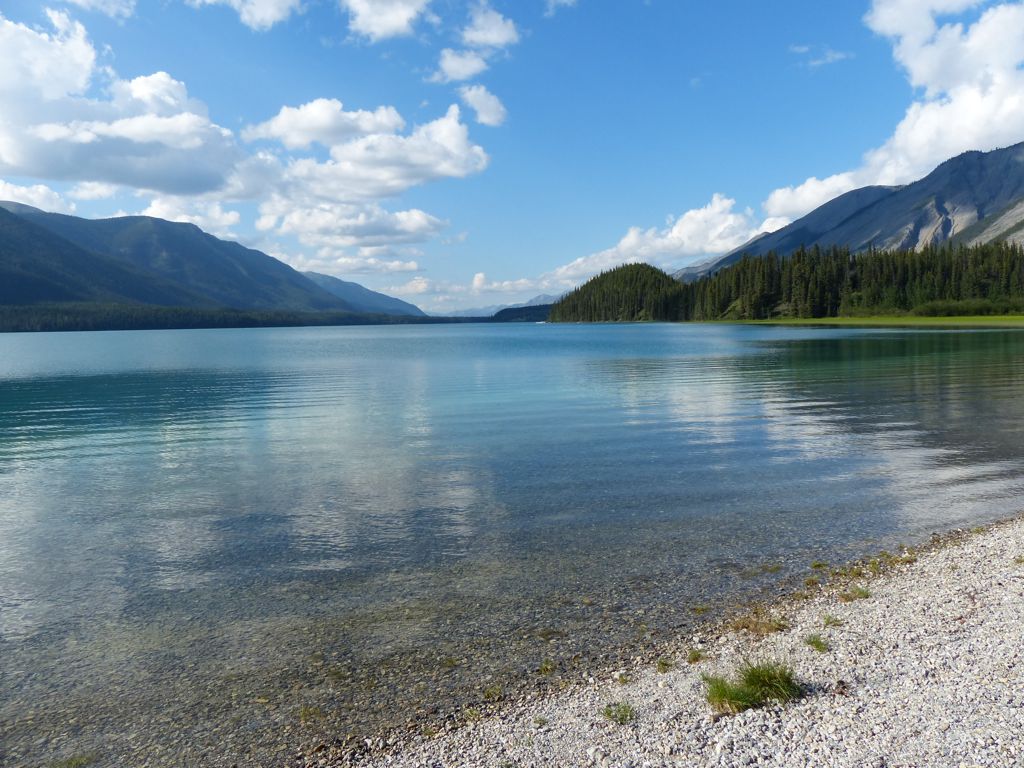
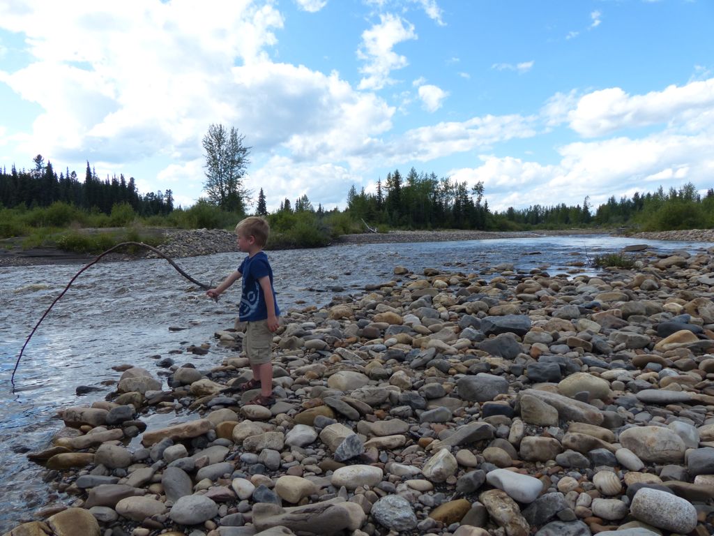
We stayed at a beautiful Territorial campground on Teslin lake where Quinn spotted some sea gulls flying overhead. He also spent some time tossing rocks into the lake trying to see how far he could throw each rock.
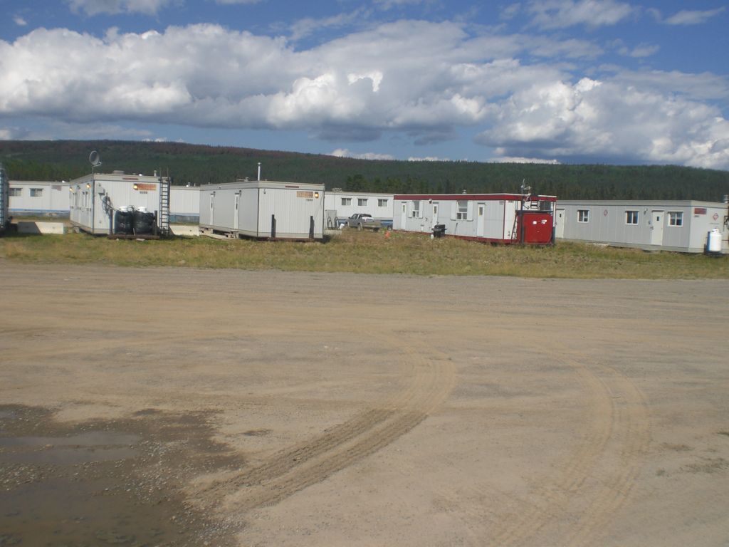
Next we got to sample the wonders of Whitehorse, the capital city of the Yukon Territory. We enjoyed a yummy salmon and rib dinner out and were able to try the local Yukon Red (amber) beer which was also a nice treat.
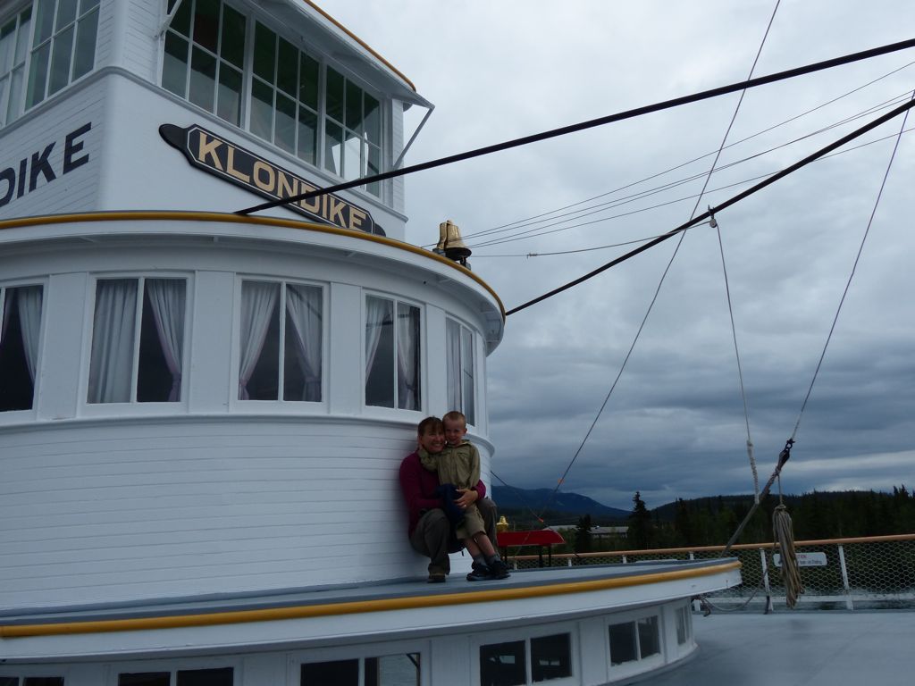
The Klondike is a sternwheel steam ship that ferried passengers and goods up and down the Yukon river from about 1900 until 1955.
Witt rented a mountain bike and rode Grey Mountain — a “Top 10” ride according to a mountain biking magazine. Meanwhile Jen and Quinn rode the town trolley and discovered an amusement park in town for the weekend! Quinn was thrilled to be tall enough to go on several rides, including the Tilt-a-Wheel and the Ferris wheel.
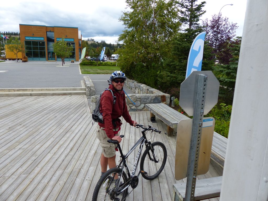
Witt gets a mountain bike ride
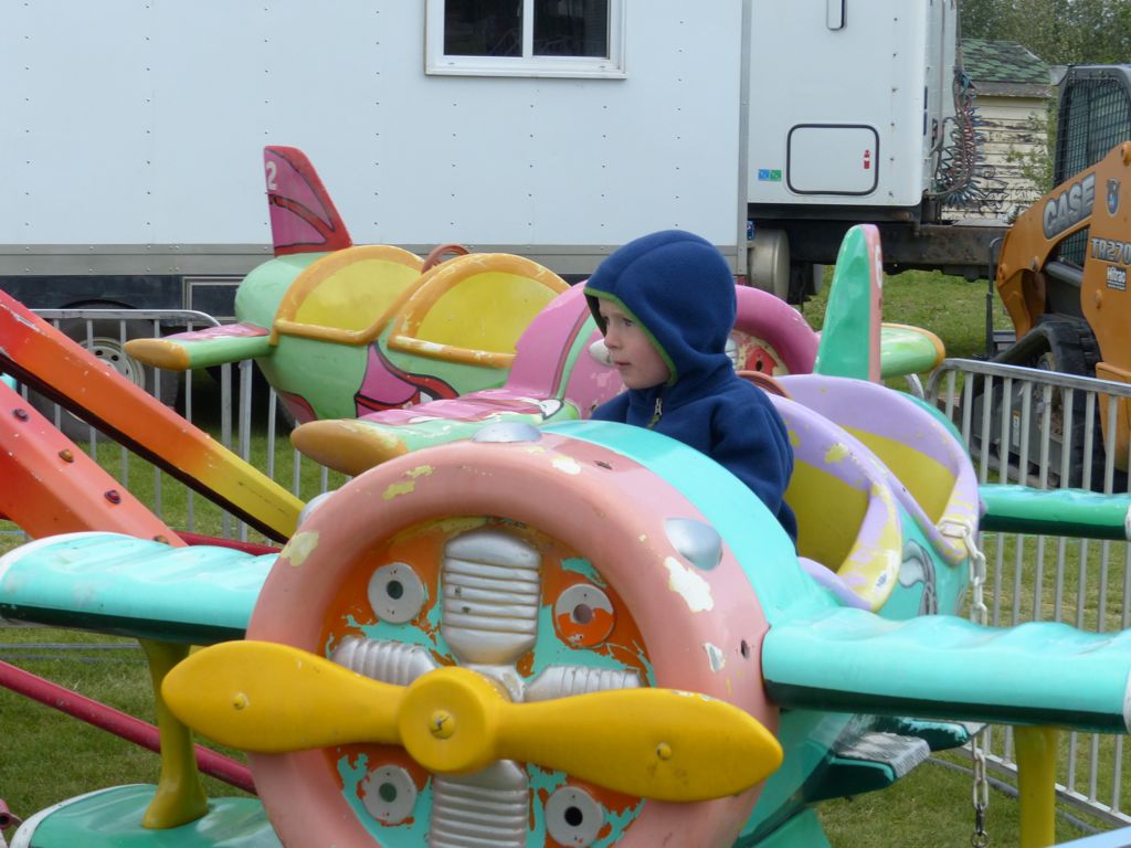
And Quinn gets an airplane ride
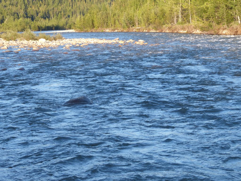
By far the favorite attraction for us was the Yukon River Fish Ladder. This was one of the most amazing things we’ve ever seen! The fish ladder was built in the late 1950’s to help the salmon swim upstream (to spawn) past the then newly-built hydroelectric dam.
For starters, we were amazed to learn that adult salmon return to their place of birth to spawn all the way from the Bering Sea! In this case, that means a tough upriver swim of about 2000 miles from the west coast of Alaska. The journey takes them about 2 months and they do the whole trip without eating a single bite of food! It’s true that they spawn and die shortly afterwards, but it is still an astounding feat.
Scientists count the fish as they climb up the fish ladder to determine the viability of the local Chinook (or king) salmon population. There’s a gate that temporarily stops the salmons’ journey so they can record the data before opening the upstream gate to allow them to continue onward. There are underwater viewing windows that allow the scientists to do this work quickly. The whole process was so fascinating to us that we just had to return again the next morning!
The upstream gate is closed overnight, so when we arrived at the Fish Ladder in the morning there were about 30-40 salmon in the holding area awaiting passage to their upstream destinations. Since there are so many fish, the only way they can get an accurate count is to scoop up the salmon, one at a time, before releasing them upstream of the gate. This process was definitely more intrusive to the salmon, but the handlers were very careful not to hurt any of the fish.
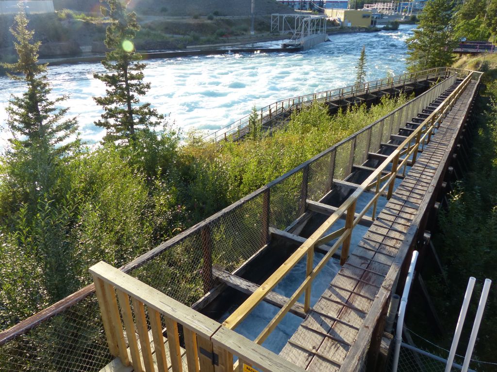
The salmon swim up this ladder to circumvent the hydroelectric dam
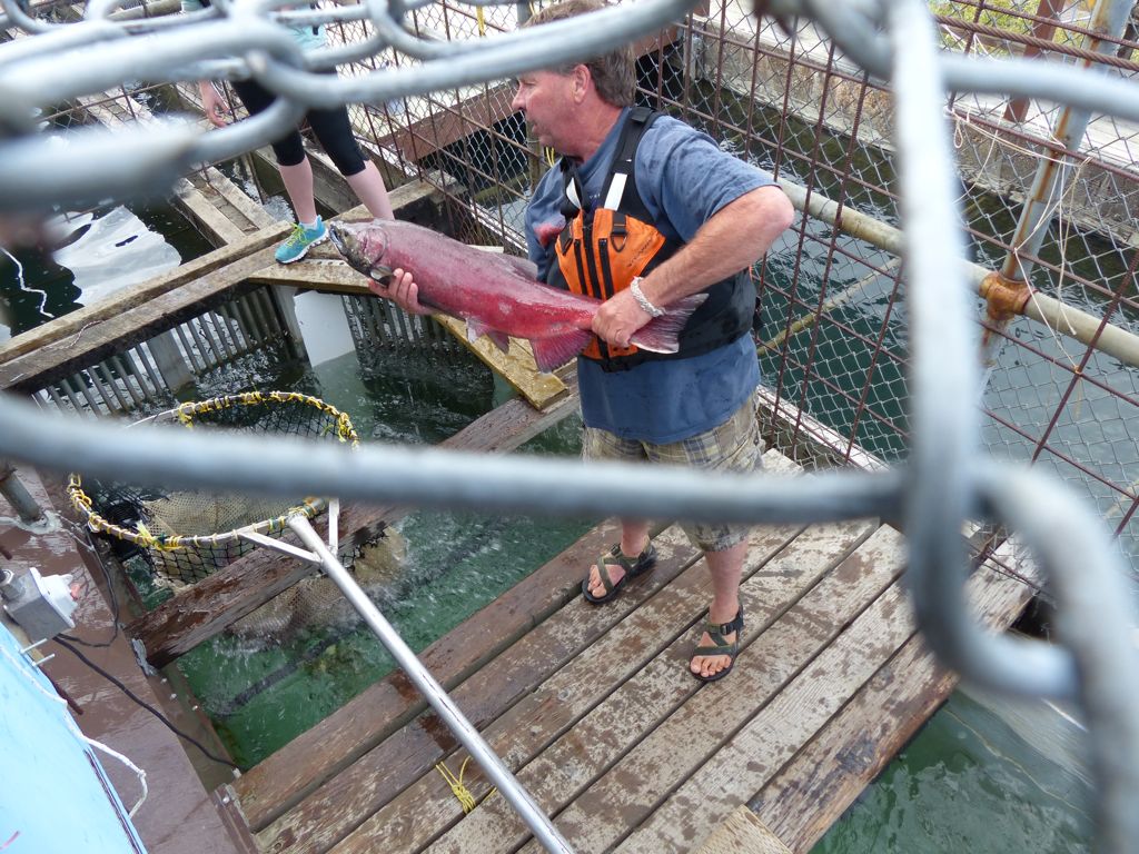
“Sorting” the salmon
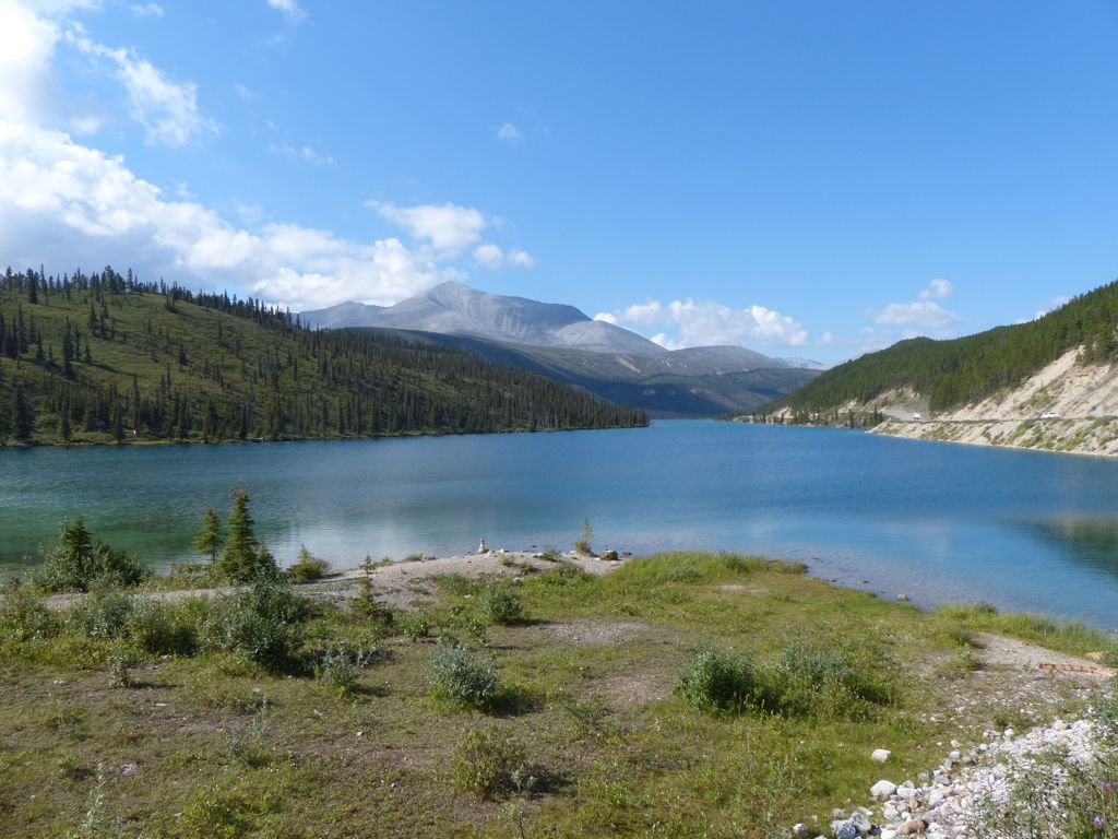
Now we are heading north through the Yukon on the Klondike Highway. Yukon Ho!